Melbourne Maps and Orientation
(Melbourne, Victoria - VIC, Australia)
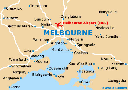
Australia's second-most densely populated city, Melbourne is located within the south-easterly state of Victoria (VIC), on its southerly coast, and is directly to the north of Tasmania. Melbourne's overall population is fast approaching four million residents and this ever-growing city has grown up around both the Yarra River and Port Phillip.
Central Melbourne is close to the Yarra Valley and also to the scenic Dandenong Ranges, while Craigieburn, Somerton and Whittlesea all lie to the north. Melbourne city centre is bounded by the Victoria Street (north), Yarra River (south), the Fitzroy Gardens (east) and also Spencer Street (west).
Maps and Orientation of the City
The westerly border of Melbourne has recently been expanded by the Docklands, while to the south-east, Federation Square has also seen great changes over the past decade. At just 1.6 km / 1 mile in length and 0.5 km / 0.3 miles in width, the very heart of Melbourne is actually quite small and this area was formerly referred to as the 'Golden Mile', with prominent intersecting streets including Bourke Street, Collins Street, Elizabeth Street and Swanston Street.
Maps of Melbourne are easy to get your hands on, with a selection of book shops situated on Commercial Road, Elizabeth Street, Little Bourke Street, and Lygon Street. The Melbourne Visitors Centre is also a good source of city maps and is to be found on Federation Square, on the corner of Flinders Street and Swanston Street.
Map of Australia

Map of Victoria

Map of Melbourne