Brisbane Maps and Orientation
(Brisbane, Queensland - QLD, Australia)
Queensland's proud capital city, Brisbane is also the state's biggest city, boasting a population of just under two million residents. The city straddles the U-shaped Brisbane River and lies on the south-easterly coast of Queensland, near to both Moreton Bay and the Eastern Highlands mountains (the Great Dividing Range).
Brisbane is a relatively hilly city, with its centre being raised somewhat by the Herbert Taylor Range and in particular, the smaller Enoggera Hill and Mount Coot-tha, the latter of which is both a mountain and the name of a neighbourhood. Streets in the city centre have taken on a rather regal structure, being named after the English royal family.
Maps and Orientation of the City
Much of the action and socialising in Brisbane takes place on the Queen Street Mall, which links the Victoria Bridge and the Treasury Casino. Tourists will find that river transport is one of the easiest ways to travel around Brisbane, with maps being available free of charge from visitor centres within the Central Business District (CBD).
Map of Australia

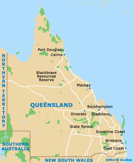
Map of Queensland
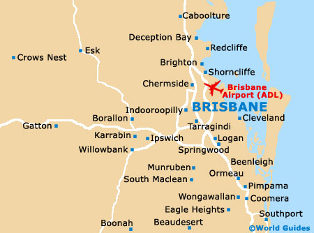
Map of Brisbane