Liverpool Maps and Orientation
(Liverpool, Merseyside, England, UK)
Located within the borough of Merseyside and based on the easterly banks of the River Mersey, the city of Liverpool is now more than 1,800 years old and boasts a population that has recently topped half a million. Much of Liverpool's popularity of today is thanks in no small part to the sixties Merseybeat era, and as recently as 2008, the city was voted as the European Capital of Culture.
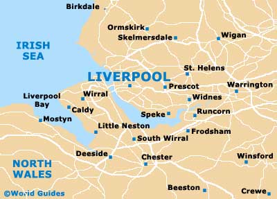
Liverpool has grown up alongside the River Mersey estuary and stretches in a north to south direction for some 21 km / 13 miles. The town of Birkenhead is close by and across the Mersey, being connected by a notable bridge (A5036). Further afield is
Birmingham (south-east), Chester (south),
Coventry (south-east),
Derby (south-east),
Leicester (south-east),
Manchester (east),
Nottingham (south-east), Preston (north),
Sheffield (east) and Stockport (east).
Maps and Orientation of the City
Visitors to Liverpool will discover that one of the main attractions is the Albert Dock, to the west of the city centre. Lime Street is the main railway station and can be found just a short distance to the east of the centre. Free maps of Liverpool are available at the Tourist Information Centre (TIC) in the Queen Square Centre, and also at a smaller related outlet at the Albert Dock.
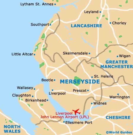
Map of the United Kingdom

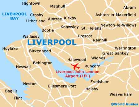
Map of Merseyside
Map of Liverpool