Christchurch Maps and Orientation
(Christchurch, Canterbury, South Island, New Zealand NZ)
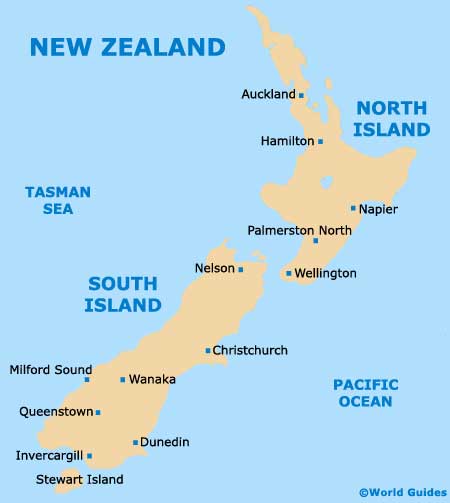
The biggest city on the South Island, Christchurch resides within the Canterbury region, on the eastern coast and close to the Banks Peninsula. The centre of Christchurch is dissected by the meandering River Avon, which affects the overall rectangular structure of the downtown streets.
Forming the very heart of the city, Cathedral Square is very easy to spot, since the spire of Christchurch Cathedral towers high above the surrounding streets. On the western side, the Botanic Gardens take up a sizeable proportion of the centre, along with Lake Albert, Lake Victoria and Hagley Park.
Maps and Orientation of the City
Getting around Christchurch shouldn't present any problems, since the city itself is fairly compact and easy to explore on foot. However, the River Avon may cause a little confusion, since there are a number of bridges causing routes to change. Heading in a north to south direction is Colombo Street, which passes Cathedral Square and forms an important shopping district. For fine dining, consider New Regent Street or Oxford Terrace.
Maps are best obtained at the Christchurch and Canterbury visitors centre on Cathedral Square, or from one of the resident book stores located on roads such as Hereford Street and Manchester Street.
- Allandale - 16 km / 10 miles (25 minutes, south)
- Chaneys - 19 km / 12 miles (25 minutes, north)
- Clarkville - 17 km / 11 miles (25 minutes, north)
- Governors Bay - 13 km / 8 miles (20 minutes, south)
- Halswell - 10 km / 6 miles (15 minutes, south-west)
- Harewood - 10 km / 6 miles (15 minutes, north-west)
- Kaiapoi - 20 km / 12 miles (30 minutes, north)
- Lincoln - 24 km / 15 miles (35 minutes, south-west)
- Lyttelton - 12 km / 7 miles (20 minutes, south-east)
- Northwood - 10 km / 6 miles (15 minutes, north)
- Prebbleton - 13 km / 8 miles (20 minutes, south-west)
- Rolleston - 23 km / 14 miles (35 minutes, south-west)
- Springston - 24 km / 15 miles (35 minutes, south-west)
- West Melton - 23 km / 14 miles (35 minutes, west)
- Yaldhurst - 11 km / 7 miles (15 minutes, west)
Map of New Zealand
Map of Christchurch

