Limassol Maps and Orientation
(Limassol, Cyprus)
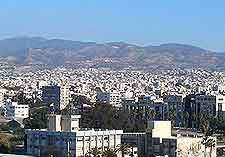
Limassol is the second-largest city on the island of
Cyprus, in terms of population, and actually the biggest geographically. Located on the centre of the southern coast, Limassol stands alongside Akrotiri Bay, where it serves as the capital of the Limassol District.
The city is home to plenty in the way of attractions and beaches, and is also known for its huge Mediterranean port. Tourists will find that the city is divided into two main regions - the historical Old City district and the more modern tourist area, which is officially named the Potamos Germasogeias.
Maps and Orientation of the City
Getting around Limassol is very straightforward, since this really is a highly walkable city. A prominent coastal road stretches the length of the entire city and features separate pathways for cyclists and walkers.
The Old City area of Limassol is particularly compact, while the New City is considerably more spread out, stretching for some 12 km / 7 miles in an easterly direction, along the seafront, where is forms the main tourist area. Maps are available at the various outlets of the Cyprus Tourism Organisation (CTO).
- Akrotin - south-west
- Asgata - north-east
- Ayia Napa (Agia Napa / Aya Napa) - far north-east
- Ayios Ioannis - north
- Burchi - west
- Episkopi - west
- Famagusta (Ammóchostos / Gazimagusa) - far north-east
- Kalokhono - north
- Kividhes - north-west
- Kyrenia (Keryneia / Girne) - far north-east
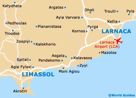
- Larnaca (Larnaka) - north-east
- Layia - north-east
- Marl - east
- Moni - east
- Nicosia (Lefkosia) - north-east
- Ora - north-east
- Paleokhono - north-east
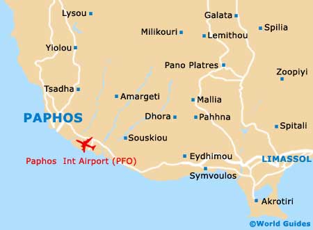
- Paphos (Pafos / Paphus) - west
- Yerasa - north
- Zyyi - east
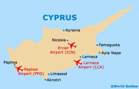
Map of Cyprus
Map of Limassol