Columbia Maps and Orientation
(Columbia, South Carolina - SC, USA)
Standing in the very heart of South Carolina, the city of Columbia functions as both the state's capital and biggest city. It is also the seat of Richland County, while part of the city is to be found within Lexington County.
Columbia serves as the primary gateway into South Carolina's Midlands region and is located at the spot where the Broad River meets with the Saluda River, before becoming the Congaree River.
The city has grown up around the Congaree River and a distinctive fall line, which separates an upland region and lower plain, and sees the river cascading down between these two levels. It was this forceful flow of water that once powered the mills of Columbia, bringing much wealth to the city,
Maps and Orientation of the City
The city is completely encircled by two interstates, the I-20 (north) and the I-77 / Veterans Memorial Freeway (south). Heading to the northwest is the James F. Byrnes Expressway (I-26), which connects the Harbison State Forest and Northwest Columbia.
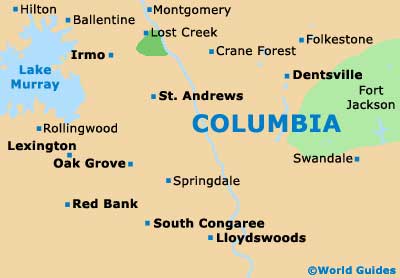
Central Columbia is where many of the city's attractions and hotels reside, with Arsenal Hill, the Columbia Museum of Art and Finley Park all lying to the north and being useful landmarks to find on maps. The Columbia Metropolitan Convention Center is to the west, along with Bicentennial Park, the Carolina Baseball Stadium and Granby Park. Blossom Street is one of the bridges crossing the Congaree River and connects the Parkland Shopping Center.
- Blythewood - 18 miles / 29 km (30 minutes, north)
- Brookhaven - 15 miles / 24 km (25 minutes, northeast)
- Cayce - 4 miles / 6 km (ten minutes, south)
- Congaree Swamp National Monument - 19 miles / 31 km (30 minutes, southeast)
- Crane Forest - 7 miles / 11 km (12 minutes, north)
- Dentsville - 7 miles / 11 km (12 minutes, northeast)
- Harbison State Forest - 11 miles / 18 km (20 minutes, northwest)
- Hopkins - 14 miles / 23 km (25 minutes, southeast)
- Lake Murray of Richland - 20 miles / 32 km (30 minutes, northwest)
- Lexington - 12 miles / 19 km (20 minutes, west)
- Oak Grove - 7 miles / 11 km (12 minutes, west)
- Sesquicentennial State Park - 15 miles / 24 km (25 minutes, northeast)
- Winnsboro - 28 miles / 45 km (45 minutes, north)
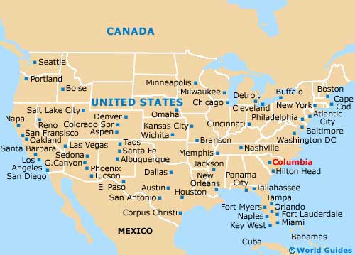
Map of the United States
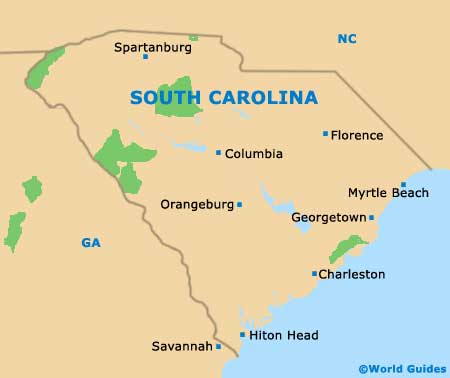
Map of South Carolina
Map of Columbia