Baltimore Maps and Orientation
(Baltimore, Maryland - MD, USA)
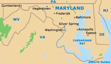
Although Baltimore is the biggest city within the state of Maryland, it is actually
Annapolis that serves as the state capital. Many locals choose to refer to this city as Baltimore City, so as to clearly differentiate it from the surrounding county of the same name, of which Towson is the county seat.
Most visitors to the city of Baltimore tend to be drawn towards the waterfront, with both the Inner Harbor and the Harborplace offering plenty of tourist appeal. The Inner Harbor is an especially trendy area enjoying much regeneration, with its glitzy shopping malls and maritime-themed eateries, along with a lengthy waterfront promenade. However, it is certainly worth venturing elsewhere to sightsee further, rather than just spending your entire vacation hanging out here.
Baltimore has numerous distinctive and inviting neighborhoods. From the Inner Harbor, head to the north / northwest to reach the business district and Mount Vernon, and to the east if you are looking to check out districts such as Canton, Fells Point and also Little Italy and its plentiful Italian-themed restaurants. Directly to the west is the baseball stadium of Oriole Park at Camden Yards, where a potential seating capacity tops 45,000 spectators.
Maps and Orientation of the City
Local bookstores prove to be a good source of city maps, such as the Barnes and Noble branch within the Inner Harbor.
Close by, the official Baltimore Area Visitors Center may also be worth a look for maps and travel advice, being just a stroll away from the Maryland Science Center. At the Visitors Center you can purchase the Harbor Pass, which allows free entrance to six prominent attractions and can prove good value for sightseers.
- Annapolis - 30 miles / 48 km (45 minutes, south)
- Arlington - 45 miles / 72 km (one hour and five minutes, southwest)
- Catonsville - 9 miles / 14 km (20 minutes, west)
- Dundalk - 9 miles / 14 km (20 minutes, east)
- Edgemere - 12 miles / 19 km (22 minutes, east)
- Elkridge - 10 miles / 16 km (20 minutes, southwest)
- Ellicott City - 13 miles / 21 km (25 minutes, west)
- Frederick - 46 miles / 74 km (one hour and ten minutes, west)
- Glen Burnie - 11 miles / 18 km (22 minutes, south)
- Lansdowne - 6 miles / 10 km (12 minutes, southwest)
- Overlea - 11 miles / 18 km (22 minutes, northeast)
- Parkville - 8 miles / 13 km (15 minutes, north)
- Pikesville - 10 miles / 16 km (20 minutes, northwest)
- Randallstown - 16 miles / 26 km (30 minutes, northwest)
- Rosedale - 6 miles / 10 km (12 minutes, northeast)
- Silver Spring - 34 miles / 55 km (50 minutes, southwest)
- Towson - 15 miles / 24 km (25 minutes, north)
- Washington DC - 40 miles / 64 km (one hour and five minutes, southwest)
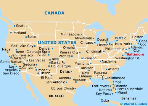
Map of the United States
Map of Maryland