Budapest Maps and Orientation
(Budapest, Hungary)
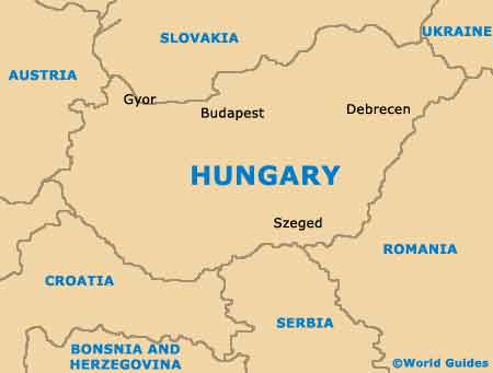
The Hungarian city of Budapest lies just to the north of central, Hungary and around the Danube River. This historical waterway is crossed by a total of nine different bridges, connecting the rather hilly area of Buda with the noticeably flatter Pest district.
Budapest's population currently stands at around 1.7 million people, although this figure steadily increases every year. Various maps of Budapest are available, including many pocket-sized fold-up maps on the Inner Town and surrounding suburbs.
Maps and Orientation of the City
Budapest is a big and sprawling city, although despite its size, it is relatively simple to find your way around and difficult to get lost. However, if you intend to explore the city fully, the Cartographia Budapest Atlas will prove invaluable. Local bookstores in the city often sell a number of quality maps and these can be found on the Bajcsy-Zsilinszky and the Petofi Sándor.
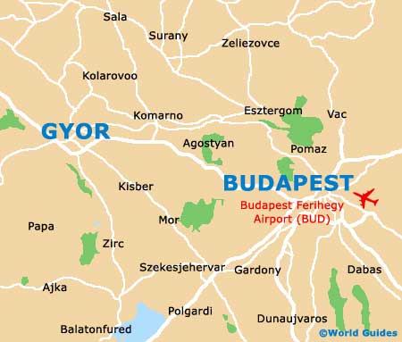
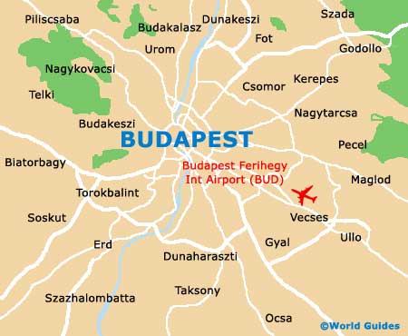
When looking at a detailed map of Budapest, it is immediately apparent that the city is surrounded by two ring roads. These are known as the Big Ring Road (Nagykörut) and also the Little Ring Road (Kiskörut), allowing easy access to much of Budapest. Outside of the city, the following locations are close by and often of interest to visiting tourists.
- Biatorbagy - west
- Budakeszi - west
- Budaörs - south-west
- Diosd - south-west
- Dunakeszi - north-east
- Erd - south-west
- Gallatanya - south
- Gödöllö - north-east
- Pécel - east
- Pomáz - north
- Solymár - north-west
- Szentendre - north
- Taksony - south
- Tarnok - south-west
Map of Hungary
Map of Budapest