Callao Maps and Orientation
(Callao, Peru)
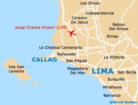
Widely considered by many Peruvians to be a suburb of Lima, the city of Callao lies just minutes to the west of this capital city, alongside the coast of the South Pacific Ocean. The city is home to one of Peru's most important harbours and is part of both the Constitutional Province of Callao and the Lima Metropolitan Area.
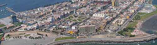
Callao is a particularly historical city, being founded almost 500 years ago and at the same time as Lima, when it immediately become a leading port for shipping in the Pacific, and is today home to the Jorge Chávez International Airport. Enjoying a peninsula setting, the city is spilt into a total of six different districts.
Maps and Orientation of the City
Downtown Callao is the main central district and is bounded to the north by the Chillon River. Further north, the Ventanilla district is the biggest, and covers more than half of the overall province's territory. On the eastern side of downtown Callao, the Carmen de la Legua Reynoso neighbourhood is to be found, while to the south are the districts of Bellavista, La Perla and also La Punta. Maps help you immediately get a better understanding of the city's layout, and are essential if you plan to visit nearby Lima.
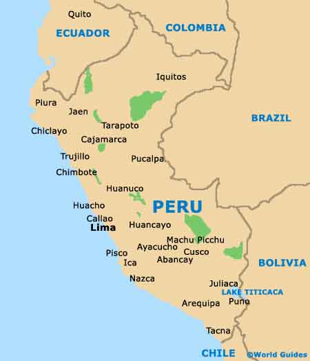
- Ayacucho - south-east
- Cerro de Pasco - north-east
- Goyllarisquizga - north-east
- Huacho - north
- Huancavelica - south-east
- Huanuco - north-east
- Huancayo - east
- Ica - south
- Lima - east
- Nazca - south
- Pisco - south
- Tarma - north-east
Map of Peru
Map of Callao