Frome Maps
(Frome, Somerset, England, UK)
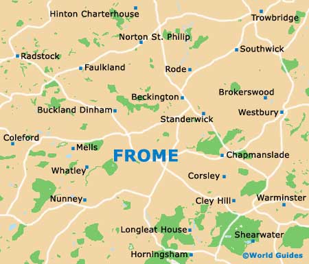
Located in the county of Somerset, Frome has been a busy market town for more than 1,000 years and its town centre is full of character, being surrounded by a series of steep hills. The town centre has grown up around the River Frome and the Market Place, with Bath Street and Catherine Hill lying to one side, and North Parade to the other.
Bath Street is a winding hill leading to the Christchurch and Keyford areas, while North Parade heads to the Berkley and Clink side of Frome, where the Stonebridge and Dovecote Farm (Prowtings) residential estates are situated. Those looking to do a spot of shopping will find some of the most charming shops lining the extremely historical Cheap Street, while the more modern Westway Precinct is just across the road.
Maps and Orientation of the City
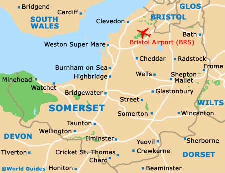
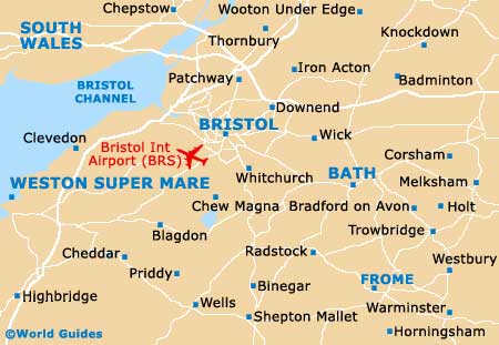
Frome is within easy reach of both
Bath and
Bristol, with these two major cities being well connected by buses and trains. Maps and information about the most popular excursions can be found within the Round Tower's tourist office on Bridge Street. Alternatively, various book stores and newsagents are dotted around the town and sell regional maps, such as WHSmith and Martin McColl in the Westway Precinct.
Map of the United Kingdom

Map of Somerset
Map of Frome Area
Map of Frome