Tokyo Maps and Orientation
(Tokyo, Kanto, Honshu, Japan)
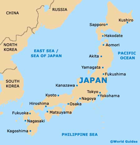
Nowhere in the world quite compares to the spectacular, sprawling metropolis that is Tokyo. Located on the Japanese island of Honshu and within the Kanto region, Tokyo is the official residence of the Japanese Imperial Family and is also the country's capital city.
Many enormous high-rise buildings and mirrored skyscrapers dominate the cityscape and can be useful reference points, as you find your way around. Amongst the tallest buildings in the city, the Tokyo Tower, the Mid Town Tower and the City Hall stand out and are exceptional structures.
Maps and Orientation of the City
When you arrive in Tokyo, it is highly advisable to pick up your free copy of the English-language 'Tourist Map of Tokyo'. Available from all of the city's tourist offices, this map features in-depth inserts with maps of the main districts, train network and subway system. Both the train and subway maps are easy to understand and feature colour-coded lines which represent the main routes. These specific maps can also be found at most subway stations.
The Greater Tokyo district comprises three main areas, the 23 wards, the neighbouring islands and the Tama district, spreading between the Kanto Plain and Tokyo Bay. Outside of the city, many popular locations make for good day trips, with nearby cities and towns including:
- Chiba - south-east
- Fuchu - west
- Funabashi - east
- Ichikawa - east
- Kashiwa - north-east
- Kasukabe - north
- Kawagoe - north-west
- Kawaguchi - north
- Kawasaki - south
- Koshigaya - north
- Matsudo - east
- Omiya - north-west
- Tokorozawa - north-west
- Urawa - north
- Yamato - south-west
Map of Japan
Map of Tokyo

