Luxor Maps and Orientation
(Luxor, Egypt)
The exciting and busy city of Luxor has long been a popular destination for visiting tourists and lies in the Upper region of southern Egypt. Home to a population exceeding 200,000 and many areas of interest, Luxor is divided into three main areas.
Central Luxor itself is the main region and home to a good selection of sightseeing opportunities and places to visit. Around 2 km / 1.5 miles to the north-east of Luxor you will discover the charming village of Karnak, which lies along the banks of the famous River Nile and is perhaps best known for being home to the enormous Karnak Temple. The final area is located on the West Bank and includes a number of historic sights, such as the Necropolis of ancient Thebes.
Maps and Orientation of the City
Central Luxor itself is an exciting place to spend some time and comprises four main roads, the Corniche el-Nil, the Sharia al-Karnak, the Sharia al-Mahatta and also the Sharia Televizyon, all of which are lined with inexpensive accommodation options and a number of shops.
Nearby and standing in the West Bank area of Luxor, the appealing village of Al-Gezira is sited next to the city's ferry landing and is known for being a good place to both shop and eat. Head further westwards are you will discover the village of Gurna, amongst a number of ancient tombs and temples, edging the desert. The main towns and villages close to Luxor are shown below.
- Ad Dayr al Bahri
- Al Bayadiyah
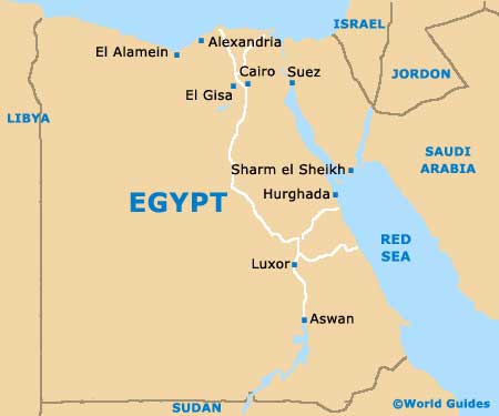
- Aswan
- Dabiya
- Dandara
- Dishna
- Farshut
- Gurna
- Idisat
- Idisat
- Karnak
- Khuzam
- Kiman el-Matana
- Naqada
- Qena
- Qina
- Sohag
Continent Map of Africa

Map of Egypt
Map of Luxor

