Trenton Maps and Orientation
(Trenton, New Jersey - NJ, USA)
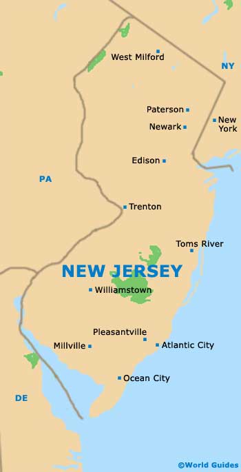
New Jersey is an easterly state of North America, being located alongside the Atlantic Ocean. Trenton is the capital city and is to be found on the western side of central New Jersey, next to the state border with
Pennsylvania.
Also the county seat for Mercer County, the city of Trenton is not especially large for a state capital, with an overall population in the region of 90,000 people. In fact, it is currently only the tenth-biggest, after Newark, Jersey City, Paterson, Elizabeth, Edison, Woodbridge, Lakewood, Toms River and Hamilton.
Incorporated in the late decade of the 18th century, Trenton is a rather historic city and began its life on the eastern banks of the Delaware River. Today, several different bridges span the river, connecting the city with the town of Morrisville in neighboring Pennsylvania.
Maps and Orientation of the City
The exact geographical location of the city often causes a little confusion, with some maps showing it as a part of North Jersey, while others consider it to belong to South Jersey. Interestingly, Trenton is one of only two state capitals that actually border a different state.
The New Jersey State House is a sensible place to begin any exploration of downtown Trenton and is a good point of reference to identify on city maps. Close by is the New Jersey State Museum, as well as the Patriots Theater at the War Memorial. Take a stroll a few blocks to the north and you will soon reach the Delaware and Raritan Canal State Park Trail.
- Bensalem, Pennsylvania (PA) - southwest
- Burlington - southwest
- Cinnaminson - southwest
- Ewing - northwest
- Florence Township - southwest
- Fort Dix - south
- Levittown, Pennsylvania (PA) - southwest
- Maple Shade - southwest
- Mount Holly - south
- Newark - northeast
- New York, NY - northeast
- Paterson - northeast
- Pennsauken Township - southwest
- Philadelphia, Pennsylvania (PA) - southwest
- Princeton - northeast
Map of USA
Map of New Jersey
Map of Trenton
