Calgary Maps and Orientation
(Calgary, Alberta - AB, Canada)
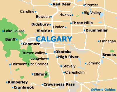
The biggest and most prominent city within the Canadian province of Alberta, Calgary lies to the south-east of both
Banff and
Jasper, and on the southern side of Alberta. Calgary's downtown skyscrapers soar high and dominate the city's skyline, while the Canadian Rockies are a mere 50 miles / 80 km away and stand directly to the east.
Now topping one million, the population of Calgary has grown greatly in recent years, with the total population of the metropolitan area known as 'Greater Calgary' now being around 1.2 million. The city center itself lies on the southern banks of the Bow River, and south of Prince's Island.
Maps and Orientation of the City
Much of Calgary is very walkable, with the exception of outlying 'Stampede' locations and cattle ranches. Greyhound buses connect most neighboring places of interest, with maps being easy to come by for those who have chosen to rent their own vehicle. Maps are available at the Visitor Information Services center on 8th Avenue, next to the Riley and McComick Western Store.
Map of Canada

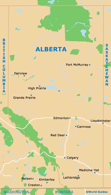
Map of Alberta
Map of Calgary