Oxford Maps and Orientation
(Oxford, Oxfordshire, England, UK)
Oxford is a truly beautiful and historical city, with grand architecture around almost every corner of the city centre. Located in south-east England and within the county of Oxfordshire, the city of Oxford lies between
London (south-east) and
Cheltenham (north-west), and is also relatively close to Swindon (south-west),
Bristol (south-west), Milton Keynes (north-east), Luton (east), Reading (south-east) and Slough (south-east).
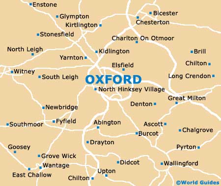
With a population now exceeding 150,000 people, Oxford is a fairly sizable city, with much to see. The city centre is surrounded by rivers and streams on most sides and can easily be explored on foot. Carfax Tower serves as a useful landmark and point of reference on maps, and is situated at the point where Cornmarket Street and Queen Street come together.
Maps and Orientation of the City
Regular Oxford buses connect Carfax Tower and the train station, with the bus station being centrally located and off Gloucester Green. Various university buildings are dotted around the centre and add much character, with Christ Church and the Magdalen colleges being especially impressive.
Map of the United Kingdom

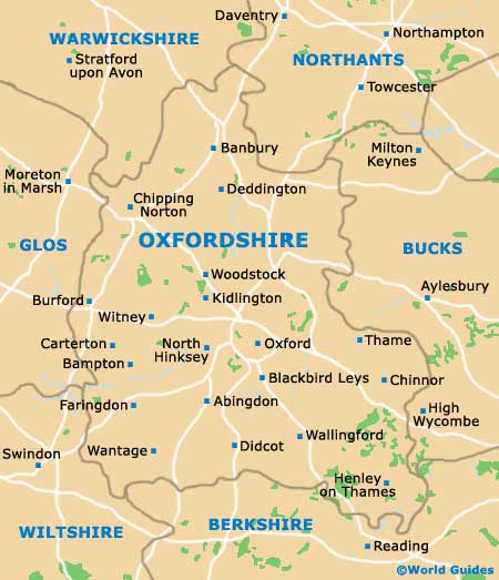
Map of Oxfordshire
Map of Oxford