Cairo Maps and Orientation
(Cairo, Egypt)
There is no doubt that Cairo is a rather sprawling city with boundaries that are rather hard to determine. However, Cairo is surprisingly easy to find your way around and this is by no means as daunting as it first appears. The epicentre of Cairo is the bustling area of Midan Tahrir, while the actual downtown district lies directly north-east of this central point, around Midan Talaat Harb, with the city's train station being located on the far northern side of the downtown area, in Midan Ramses.
Maps and Orientation of the City
Past downtown Cairo, Midan Ataba and further east, Islamic Cairo is a thriving medieval neighbourhood, considered by many to be the city's true heart. Here you will find the magnificent bazaar of Khan al-Khalili, Cairo's university and also the breathtaking Al-Azhar Mosque. If you travel further east, the vast Northern and Southern Cemeteries dominate much of this area and are quite awe-inspiring.
On the southern side of central Cairo, the Garden City is a rather wealthy neighbourhood and an important embassy territory, while nearby are a true labyrinth of interconnecting streets, neighbourhoods and communities, collectively forming the area known as Old Cairo, where many historic remains are worth a look.
On the western side of the city's many districts, the bank of the River Nile forms a fairly modern residential area, which is considerably more developed than the eastern bank. The four main areas here are Agouza, Doqqi, Mohandiseen and Giza, which is the biggest area and centred around a prominent road of around 20 km / 12 miles in length, at the end of which you will find the breathtaking pyramids.
Outside of Cairo, the follow towns and villages are within driving distance and suitable for exploring.
- Benha
- Bilbeis
- Dahshur
- Gerza
- Helwan
- Maadi
- Maasara
- Maraziq
- Qatfawiva
- Ramadan City
- Saff
- Tanta
- Tura
- Wasta
- Zagazig
- Zifta
Continent Map of Africa

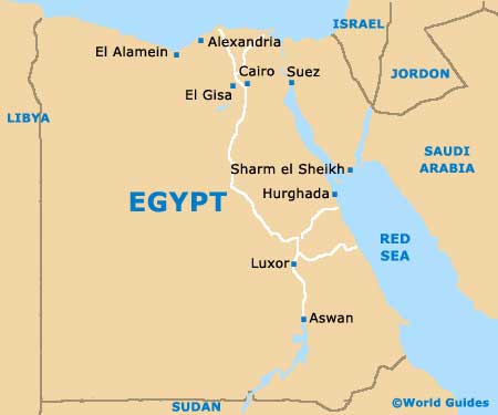
Map of Egypt
Map of Cairo

