Ayacucho Maps and Orientation
(Ayacucho, Peru)
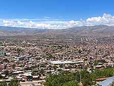
The Andean city of Ayacucho lies within the Central Highlands area of southern
Peru, where it has become the capital of the Huamanga Province. With a population of around 150,000 and a distinctive colonial character, Ayacucho stands at an altitude of some 2,700 metres / 8,860 feet, where it enjoys a scenic valley setting.
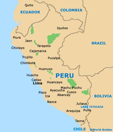
Within easy reach of a number of more popular Peruvian destinations, such as Cusco, Machu Picchu and Lima, Ayacucho is sandwiched between some interesting towns, which stand directly to the north and south.
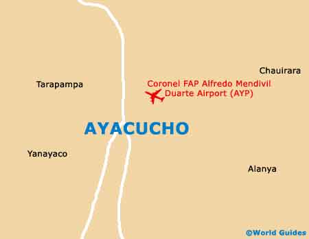
Maps and Orientation of the City
Central Ayacucho is based around the Plaza de Armas square, which also goes by the name of Plaza Mayor de Huamanga. Serving as a useful point of reference and meeting place, the Plaza de Armas is bounded by the streets of the Portal Constitution, the Portal Independencia, the Portal Municipal and the Portal Union.
Those looking for maps of Ayacucho should pay a visit to the Centro Turistico Cultural San Cristobal on the San Martin, or to the iPeru visitors centre at the Municipalidad Huamanga, on the Plaza Mayor. Places of interest close by are as follows:
- Abancay - south-east
- Callao - north-west
- Cusco - east
- Huancavelica - west
- Ica - south-west
- Lima - north-west
- Machu Picchu - east
- Nazca - south-west
- Pisco - west
- Quillabamba - north-east
Map of Peru
Map of Ayacucho