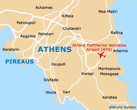
Piraeus Maps and Orientation
(Piraeus, Attica, Greece)
Located just 10 km / 6 miles to the southern of
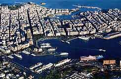
Athens city centre, Piraeus is the ancient port of Athens and is now a city in its own right. Piraeus can be found within the Attica region and is famous throughout the world for its enormous port, which is now the largest in the whole of Europe and the world's third-biggest, serving some 20 million passengers each year.
The city itself lies on the westerly side of the Piraeus peninsula, while to the east are a number of private harbours, such as the Mikrolimano and the Zea Marina. Athens is linked to the city by a busy railway and metro network, which terminate at the Atki Kalimassioti, next to the Great Harbour.
Maps and Orientation of the City
The Plateia Karaiskaki is an important public square close to the metro station and it is here where you will find the bus terminus for the airport. Maps of Piraeus will allow you to find your way around the city more easily, although most visitors simply tend to use the buses, to travel between the metro station and the Zea Marina.
Further afield are various populated centres and vineyards around the plain of Attica, along with some excellent beaches along the Apollo Coast and close to Marathon.
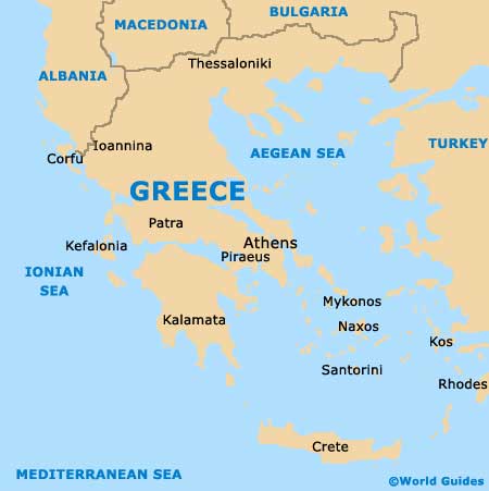
Map of Greece
Map of Piraeus