Paris Maps and Orientation
(Paris, Ile-de-France, France)
The French capital is part of a sprawling metropolitan area, although the actual centre of Paris is relatively small and compact. Dissecting the city is the River Seine, and sights are often described as either being located on the Left Bank (Rive Gauche) or the Right Bank (Rive Droite).
Finding your way around Paris can be surprisingly easy, although carrying around a good pocket map is always advisable. Addresses may be listed either by its proximity to a Metro station or by district (arrondissement). In total there are some 20 different arrondissement, which are numbered from 1 to 20, and spiral outwards in a clockwise fashion.
Maps and Orientation of the City
The arrondissements of Paris are as follows:
- 1 - Louvre
- 2 - Bourse (Central Business District)
- 3 - Temple
- 4 - Hotel de Ville / Notre Dame
- 5 - Panthéon / Jardin des Plantes
- 6 - Jardin du Luxembourg
- 7 - Palais Bourbon / Eiffel Tower
- 8 - Champs Elysée
- 9 - Opéra Garnier
- 10 - Gare du Nord / Gare de l'Est / Enclos St. Laurent
- 11 - Bastille / Popincourt
- 12 - Reuilly
- 13 - Gobelins / Quartier la Petite Asie
- 14 - Observatoire / Gare Montparnasse
- 15 - Vaugirard / Porte de Versailles
- 16 - Passy
- 17 - Batignolles Monceau
- 18 - Montmartre
- 19 - Chaumont
- 20 - Ménilmontant / Cimetière de Père Lachaise
Notable destinations within driving distance of Paris are as follows:
- Amiens - 151 km / 94 miles (two hours and 15 minutes, north)
- Bourges - 249 km / 155 miles (three hours and 30 minutes, south)
- Caen - 234 km / 145 miles (three hours and ten minutes, west)
- Dijon - 316 km / 196 miles (four hours, south-east)
- Fontainebleau - 70 km / 43 miles (one hour, south)
- Le Havre - 197 km / 122 miles (two hours and 40 minutes, north-west)
- Le Mans - 210 km / 130 miles (two hours and 50 minutes, south-west)
- Orleans - 133 km / 83 miles (two hours, south)
- Reims - 144 km / 89 miles (two hours and ten minutes, east)
Map of France

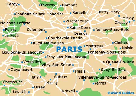
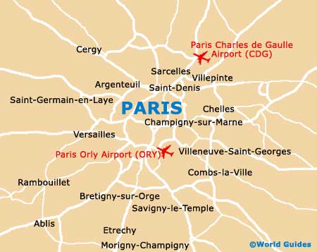
Map of Paris


