Antwerp Maps and Orientation
(Antwerp, Antwerpen, Flanders, Belgium)
One of the most underrated cities in the whole country, Antwerp flanks the winding banks of the River Scheldt. Around two thirds of Antwerp is edged with a lengthy motorway, which is known simply as the 'Ring'.
The historic old centre of Antwerp is to be found around the Grote Markt area and lies on the right-hand side of the river. This part of the city is particularly close to the Centraal Station and this can be reached by using the pedestrianised Meir area, passing many shops along the way.
Maps and Orientation of the City
Many maps of Antwerp are difficult to understand and finding your way around the labyrinth of winding streets in the old centre can be a little confusing. However, some local landmarks make for good points of reference, such as Stadspark, the Red-light District, the Tram Station and the many museums. Much of the action in Antwerp is currently located in the docklands area of Het Zuid (The South), where many trendy bars and restaurants are gathered.
- Beveren - 16 km / 10 miles (18 minutes, west)
- Brasschaat - 11 km / 7 miles (14 minutes, north-east)
- Brussels - 56 km / 35 miles (50 minutes, south)
- Dendermonde - 38 km / 24 miles (35 minutes, south-west)
- Grimbergen - 35 km / 22 miles (35 minutes, south)
- Hulst - 59 km / 37 miles (50 minutes, west)
- Kapellen - 14 km / 9 miles (18 minutes, north)
- Mechelen - 26 km / 16 miles (25 minutes, south)
- Schoten - 10 km / 6 miles (12 minutes, east)
- Temse - 27 km / 17 miles (25 minutes, south-west)
- Turnhout - 46 km / 29 miles (45 minutes, east)
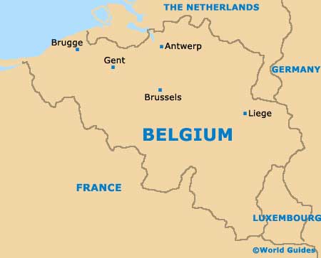
Map of Belgium
Map of Antwerp

