Canberra Maps and Orientation
(Canberra, Australian Capital Territory - ACT, Australia)
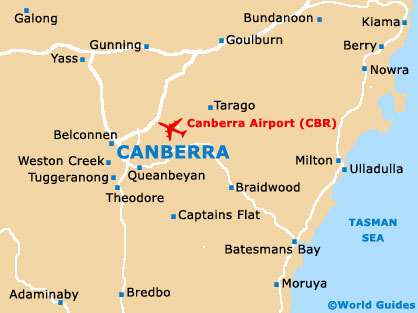
Australia's capital city of Canberra resides within the south-easterly corner of Australia, being relatively close to the coastline and the Brindabella Ranges. Canberra is located on the northern side of the Australian Capital Territory (ACT), which is a small region surrounded by New South Wales (NSW).
Sydney is close to Canberra and lies approximately 280 km / 173 miles to the north-east.
Melbourne is further afield, at some 650 km / 405 miles away and to the south-west.
Maps and Orientation of the City
Canberra's population is now around 350,000 and growing, and this very organised and modern city was laid out around Lake Burley Griffin (south) and the Black Mountain Reserve (west). Northbourne Avenue serves as the main thoroughfare and dissects the city centre, becoming the Commonwealth Avenue and crossing the lake to reach the Capital Circle and Parliament House.
City maps are available at most bookstores, and also at the Canberra Visitors Centre on Northbourne Avenue. The NRMA (National Roads and Motorists' Association) maps of Canberra and New South Wales are especially good and come highly recommended.
Map of Australia

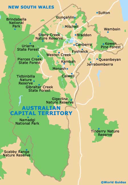
Map of Australian Capital Territory
 /
/
Map of Canberra