Yokohama Maps and Orientation
(Yokohama, Kanto, Honshu, Japan)
The city of Yokohama is situated in the Kanagawa Prefecture of the Kanto region and lies approximately 30 km / 18 miles to the south of the
Tokyo metropolis, being connected by an extensive network of train lines. With a bustling harbour area and an outstanding waterfront, Yokohama is also known for its Chinatown district and major shopping streets.
Yokohama is located to the west of Tokyo Bay and was historically centred around the Kannai Port. However, Yokohama Station has now become home to an important area of commerce, also many of the best attractions can be found outside of this area.
Maps and Orientation of the City
During the mid-19th century, Yokohama was a relatively small fishing village and quite unrecognisable from its modern, high-rise cityscape and spectacular waterfront district of today. The dockland area of Nishi-ku has undergone considerable renovation and this part of the city is better known as the Minato Mirai 21 area, where the '21' stands for the '21st century'.
Minato Mirai 21 is situated directly north of the Sakuragi-cho Station and contains many spectacular high-rise structures. Many of Yokohama's tallest skyscrapers were erected in the 1990s and include the outstanding Yokohama Landmark Tower, the Queen's Tower and also the Bank of Yokohama Head Office, all of which reside in Minato Mirai 21. Outside of the city, the following cities and towns may be of interest:
- Chiba - north-east
- Hachioji - west
- Hiratsuka - south-west
- Kamakura - south
- Kawaguchi - north
- Kawasaki - north-east
- Kimitsu - south-east
- Kisarazu - east
- Koshigaya - north
- Narita - north-east
- Tokorozawa - north-west
- Tokyo - north
- Urawa - north
- Yamato - south-west
- Yokosaka - south
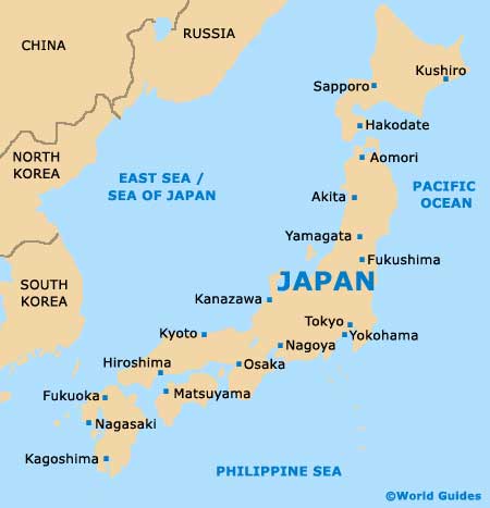
Map of Japan
Map of Yokohama

