Udaipur Maps and Orientation
(Udaipur, Rajasthan, India)
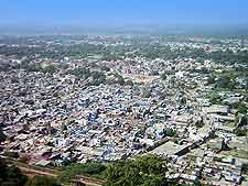
Located within the Rajasthan area of India and within the region of the Aravalli Mountains, Udaipur is a very historic city and home to no less than three lakes (Fateh Sagar, Pichola and the Swaroop Sagar). The city serves as the administrative headquarters for the spreading Udaipur District and due to it centrally located lakes, often goes by the name of the 'City of the Lakes'
Udaipur currently has a population of around 400,000 residents and enjoys a tropical climate. The old city area is edged by the remains of a long medieval city wall, the eastern side of which is dominated by Lake Pichola. Those looking for the bus or railway station will find them both lying on the south-easterly side of the city.
Maps and Orientation of the City
There is no mistaking that Udaipur, typical of many large Indian cities, is a vast and somewhat sprawling city, meaning that you may well find maps of use, particularly if you are driving outside of the city environs. Maps are available at the Tourist Reception Centre at the Fateh Memorial Building, close to Surajpol, and also at the various bookshops clustered around Udaipur's famous La Ghant area.
The following Indian cities, towns and villages are in relative proximity:
- Alwar - east
- Bhiwani - north-east
- Chirawa - north
- Chomun - south
- Didwana - south-west
- Faridabad - north-east
- Gurgaon - north-east
- Jaipur - south
- Jaisalmer - north-west
- Jhunuhunu - north
- Ladnun - west
- Mathura - east
- New Delhi - north-east
- Pilani - north
- Ringas - south
- Sariska Tiger Reserve - east
- Sikar - west
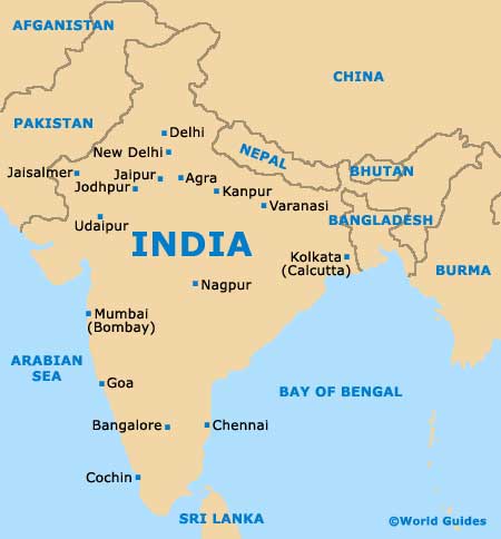
Map of India
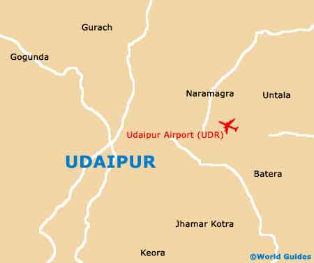
Map of Udaipur