Shanghai Maps and Orientation
(Shanghai, China)
Shanghai is a stunning city, the biggest is China and the eighth biggest of the whole planet. Located alongside the Yangtze River Delta and in the very centre of the country's eastern coast, Shanghai's skyline is dominated by striking high-rise buildings and skyscrapers, of which the breathtaking Oriental Pearl TV Tower is the tallest and most recognisable. The Jin Mao Tower, the Shimao International Plaza and the Plaza 66 Tower are also rather impressive structures.
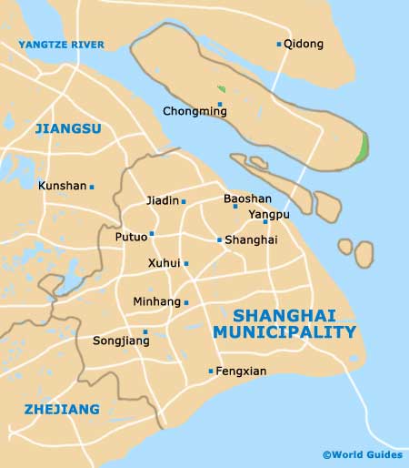
Within the city of Shanghai are more than 200 different towns and a huge number of districts and neighbourhoods, many of which have something interesting to offer. The financial district is of particular importance and lies on the eastern side of the Huangpu River.
Maps and Orientation of the City
Shanghai is home to a busy and prominent seaport, one of the largest ports of its kind in the world, being a major location for cargo shipping. This trading port is an important gateway to both the Huangpu River and the Yangtze River, being heavily used by many nearby provinces, such as Jiangsu and Zhejiang.
A map is an essential item to bring to Shanghai and will help you get an idea of the layout of this vast metropolis. English-language maps of Shanghai are available at Hongqiao Airport, Pudong International Airport, at the city's main hotels, and also at the Foreign Languages Bookstore along Fuzhou Lu.
The following cities, towns and villages stand close to Shanghai and are listed below, together with relevant directions.
- Baoshan - north
- Changshu - north-west
- Hangzhou - south-west
- Jiading - north-west
- Jiaxing - south-west
- Kunshan - west
- Songjiang - south
- Suzhou - west
- Wuxi - west
- Yixing - west
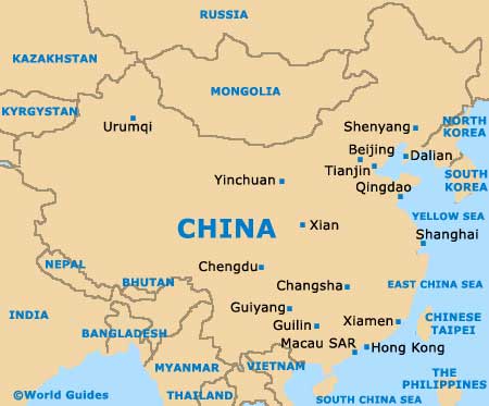
Map of China
Map of Shanghai Municipality
Map of Shanghai

