Salt Lake City Maps and Orientation
(Salt Lake City, Utah - UT, USA)
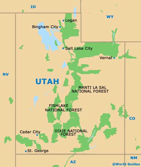
The capital of Utah, Salt Lake City lies on the northern side of the state, being near the Red Butte Canyon Research Natural Area and also within close proximity to the border with
Wyoming.
When it comes to getting around Salt Lake City, visitors will soon realize that this is a very organized and modern city, with a gridwork of principal streets heading north to south, as well as east to west. Streets are numbered, radiating outwards from a central point, with each city block generally counting as '100' in the numbering system, e.g. S 900 East.
Asking locals for directions in Salt Lake City can sometimes prove confusing, since they may use their own versions of the street names. Therefore, maps can be invaluable if you are looking to find your way around independently and with ease.
Maps and Orientation of the City
If you wish to pick up some city maps, then the Visitor Information Center at the Salt Lake Convention Center is a good place to start.
Tourist information is also available at the Salt Lake City International Airport, to the northwest of downtown (in the direction of the Farmington Bay Waterfowl Management Area), suiting those flying into Utah.
- Antelope Island State Park - 37 miles / 60 km (one hour, northwest)
- Arcadia Heights - 6 miles / 10 km (12 minutes, east)
- Bluffdale - 23 miles / 37 km (40 minutes, south)
- Bountiful - 11 miles / 18 km (20 minutes, north)
- Farmington - 17 miles / 27 km (30 minutes, north)
- Farmington Bay Waterfowl Management Area - 17 miles / 27 km (30 minutes, north)
- Layton - 24 miles / 39 km (40 minutes, north)
- Midvale - 12 miles / 19 km (20 minutes, south)
- Millcreek - 6 miles / 10 km (12 minutes, south)
- Murray - 8 miles / 13 km (15 minutes, south)
- North Salt Lake - 7 miles / 11 km (12 minutes, north)
- Northpointe - 14 miles / 23 km (25 minutes, west)
- Ogden - 38 miles / 61 km (one hour, north)
- Sandy - 16 miles / 26 km (25 minutes, south)
- Taylorsville - 11 miles / 18 km (20 minutes, southwest)
- Wasatch Mountain State Park - 45 miles / 72 km (one hour and 15 minutes, southeast)
- West Jordan - 14 miles / 23 km (25 minutes, south)
- West Valley City - 11 miles / 18 km (20 minutes, southwest)
Map of the United States

Map of Utah
Map of Salt Lake City

