Kansas City Maps and Orientation
(Kansas City, Missouri - MO, USA)
Although
Jefferson City may be the capital of Missouri, it is actually Kansas City that serves as the state's biggest city - by far. Located on the western side of Missouri and close to the border with
Kansas (KS), this city actually lies within a number of adjoining counties, namely those of Cass, Clay, Jackson and Platte.
Various main highways carve up the city and its surrounding suburbs, such as the Interstates I-35, I-70, I-435 and I-670, and also Highway US-71. Notable districts based around central Kansas City include the historical River Market, the 18th and Vine District and the Westport District, as well as the area surrounding the enormous Country Club Plaza precinct, which is known for its high concentration of eateries and shops around Broadway.
Smaller neighborhoods, residential areas and suburbs of Kansas City include those of Armour Hills, Blue Hills, Brookside, Hickman Mills, Kensington, Mount Hope, Pendleton Heights, Quality Hill, Riverview, Ruskin Heights, Shawnee Heights, Southmoreland, Squier Park, Union Hill, Ward Parkway and Westport, amongst others.
Maps and Orientation of the City
If you are keen to obtain a map or maps of Kansas City, then reliable bookstores are to be found on West 39th Street (Prospero's Books), West 47th Street and Northwest Prairie View Road (Barnes and Noble).
Alternatively, head to the Greater Kansas City Visitors Center on Main Street, which is roughly a block away from the city's Public Library and the recently revamped Oppenstein Brothers Memorial Park.
- Basehor - 24 miles / 39 km (40 minutes, west)
- Blue Springs - 20 miles / 32 km (30 minutes, east)
- Bonner Springs - 22 miles / 35 km (35 minutes, west)
- Edwardsville - 16 miles / 26 km (25 minutes, west)
- Gladstone - 9 miles / 14 km (15 minutes, north)
- Independence - 14 miles / 23 km (25 minutes, east)
- Leavenworth - 33 miles / 53 km (55 minutes, northwest)
- Leawood - 13 miles / 21 km (22 minutes, south)
- Lee's Summit - 24 miles / 39 km (40 minutes, southeast)
- Lenexa - 15 miles / 24 km (25 minutes, southwest)
- Olathe - 22 miles / 35 km (35 minutes, southwest)
- Overland Park - 12 miles / 19 km (20 minutes, south)
- Parkville - 10 miles / 16 km (15 minutes, northwest)
- Raytown - 12 miles / 19 km (20 minutes, southeast)
- Riverside - 7 miles / 11 km (12 minutes, north)
- Shawnee - 11 miles / 18 km (20 minutes, southwest)
- Weatherby Lake - 16 miles / 26 km (25 minutes, northwest)
Map of the United States
Map of Missouri

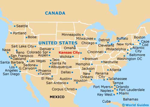
Map of Kansas City

