Chiclayo Maps and Orientation
(Chiclayo, Lambayeque, Peru)
The city of Chiclayo has long been the capital of Peru's expansive Lambayeque region and lies alongside the country's north-westerly coast, being just over 10 km / 6 miles inland from the actual South Pacific Ocean. Founded in the 16th century, when it was known as the Santa Maria de los Valles de Chiclayo, the city remains a particularly important and large urban region of
Peru, with an overall population of approximately 700,000 people.
Chiclayo has become nothing short of a bustling metropolis and leading centre of commerce, being home to the Capitán FAP José A. Quinones Gonzales International Airport. The city is divided into the municipalities of José Leonardo Ortiz, La Victoria, Pimentel, Pomalca and also Reque.
Maps and Orientation of the City
The district of José Leonardo Ortiz is by far the biggest of Chiclayo's neighbourhoods and is called home by more than 150,000 people, being followed by La Victoria and its 75,000+ residents.
Central Chiclayo comprises the prominent landmarks of the Mercado Central and the Plaza de Armas, the latter of which is where you will find a handy tourist information booth, where maps are available. For a more extensive selection of maps of Chiclayo and this part of Peru, check out the Centro de Informacion Turistico on the Saenz Pena, which is close to both the Mercado Central and the Vicente de la Vega.
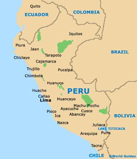
- Cajamarca - east
- Chachapoyas - north-east
- Chimbote - south
- Lambayeque - north
- Pacasmayo - south
- Paita - north-west
- Pimentel - south-west
- Piura - north-west
- Salaverry - south
- Santa Rosa - south-west
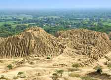
- Sipan - south-east
- Sullana - north-west
- Talara - north-west
- Trujillo - south
Map of Peru
Map of Chiclayo
