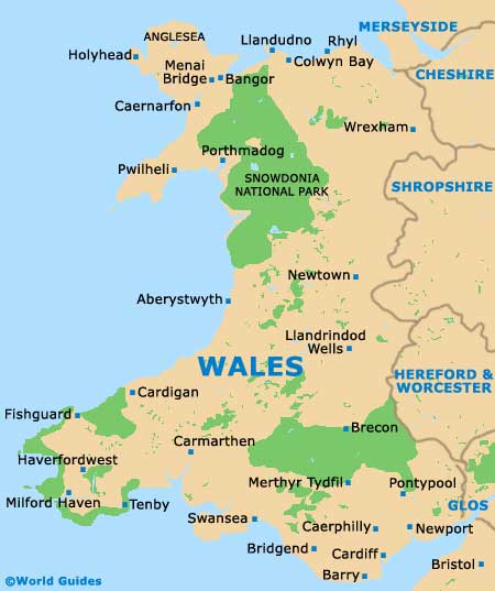
Swansea Maps and Orientation
(Swansea, West Glamorgan, South Wales, UK)
Located on the southern coast of
Wales, Swansea is an important city and stands in the West Glamorgan area. With a population of around 240,000 people, the city of Swansea has become the second-biggest city in the whole of Wales.
Swansea's county is split into four main regions. On the northern side, the Lliw Uplands are predominantly moorland and spread all the way to the Black Mountain. The western side of the county is dominated by the beautiful Gower Peninsula, while the east is home to the shoreline based around Swansea Bay and beyond. The final area encompasses a number of towns in the central area, stretching south-easterly / north-westerly and including both Pontarddulais and Gorseinon.
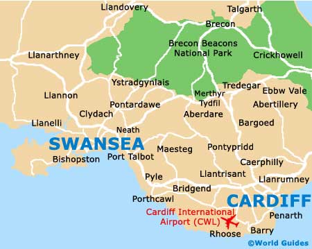
Maps and Orientation of the City
Located east of
Cardiff and to the south-west of the vast Brecon Beacons National Park, Swansea lies off the A48 and the M4 motorway, which links the Severn Bridge and ultimately the M5, the M32 and
Bristol, in nearby
England. Closer to home, prominent towns and villages surrounding the city of Swansea include Sketty to the west, Black Pill and Pennard to the south-west, Gowerton and Gorseinon to the north-west and Morriston to the north. Head east and you will find Skewen, Neath, Briton Ferry and Balgan, while Port Talbot is also close by and to the south-east.
The beaches around Swansea have become major draw cards and are regularly frequented by both locals and visitors staying in the area. Amongst the most popular stretches of sand around Swansea are the beaches at Caswell, Langland and also Limeslade. The waters around Swansea Bay and the Gower are ideal for a range of water sports and much of this area is linked by coastal pathways.
Map of the United Kingdom

Map of Wales
Map of Swansea