Papua Maps and Orientation
(Papua, Indonesia)
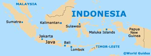
As Indonesia's biggest province by far, Papua is an important part of the country and lies on the westerly side of the island of New Guinea. Papua is rich in culture and tradition, and is home to the vast Lorentz National Park, which forms the most sizeable protected area within the Asia Pacific.
Since much of Papua is made up of lush, rather impenetrable jungle, the native inhabitants often live around the shoreline, in small towns and coastal villages. Most visitors make a beeline for the Baliem Valley, the Asmat region or the coral reefs on the northerly coast.
Maps and Orientation of the Province
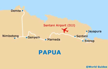
Standing alongside the Yos Sudarso Bay, Jayapura serves as the capital of Papua and has a population now exceeding 200,000 people. Other large cities in Papua include Biak, Fak Fak, Manokwari, Merauke, Sorong and Timika, as well as Wamena, which is generally considered to be the best way to enter the Baliem Valley.
Map of Indonesia
Map of Papua