Guilin Maps and Orientation
(Guilin, Guangxi, China)
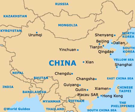
Guilin is a significant Chinese city and located on the north-easterly side of the Guangxi Zhuang Autonomous Region, and on the far south of the People's Republic of
China and north-east of the borders to both
Thailand and
Vietnam. Standing on the western banks of the meandering Li River, Guilin boasts a population rapidly approaching one and a half million residents and is famed for its plentiful Osmanthus trees and stunning natural scenery.
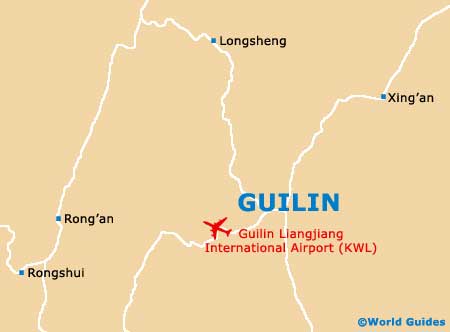
Known to date back more than 2,300 years, Guilin is an especially historic city and very much based around the Zhongshan Zhonglu, a prominent thoroughfare running alongside the Li River. The city's railway station stands at the southerly end of the Zhongshan Zhonglu and is close to many popular hotels, shops and eateries. Maps are readily available from touts outside of Guilin railway station and the neighbouring bus station, although many of these maps are often a little out of date.
Maps and Orientation of the City
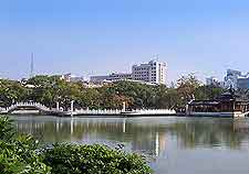
Nearer to the very heart of Guilin is the Central Square known as the Zhongxin Guangchang, which stands directly to the north-east of both the Shan Hu Lake and the Rong Hu Lake. From this square, the Zhongshan Beilu leads towards the city's main commercial district. Nearby, the Jiefang Donglu is another important street and connects the very beautiful Qixing Park, crossing the Liberation Bridge along the way.
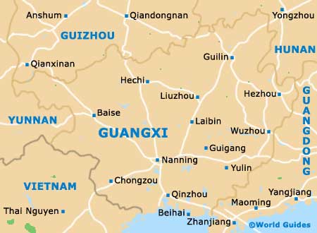
- Beihai - south
- Guangzhou - east
- Guiping - south
- Guigang - south-west
- Guiyang - north
- Hong Kong - south-east
- Huanjiang - south-west
- Kunming - north-west
- Lingchuan - north
- Liujiang - south-west
- Liuzhou - south-west
- Longsheng - north-west
- Nanning - south-west
- Quanzhou - north-east
- Rongan - west
- Yangshuo - south
- Yizhou - south-west
- Zhongshan - south-east
- Ziyuan - north
Map of China
Map of Guangxi
Map of Guilin