St. George's Maps and Orientation
(St. George's, Bermuda)
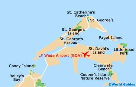
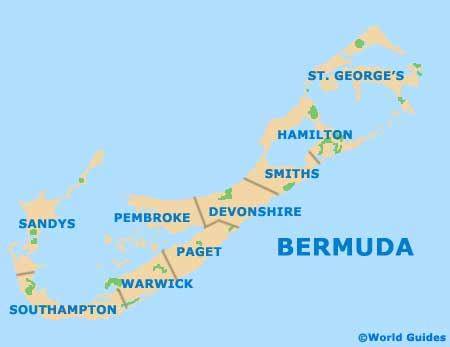
St. George's Parish is at the north-east extreme of
Bermuda, and it is where the original colony was founded. This area is deeply historic and not as commercialised as the city of Hamilton. It also has its own distinct island atmosphere, as it is cordoned off from the rest of Bermuda by a harbour and a narrow strait. Maps are available from the Visitor's Service Bureau at King's Square.
King's Square is at the heart of historic St. George's and is flanked by a few pubs that constitute the only nightlife in the parish. The town is arranged around the square and boasts an array of historic buildings. Some are made of sturdy stone and date as far back as the early 17th century. Older structures that were built of wood, on the other hand, perished in an 18th-century hurricane.
Maps and Orientation of the City
St. George's town is situated on St. George's Island. East of this is the harbour, with St. David's Island on the opposite side. This is removed from the town itself, but is still included as part of St. George's Parish. A bridge connects the two islands, meaning that it is easy to get back and forth.
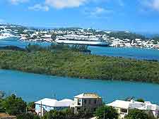
As the entire parish is strung with straits, harbours and other waterways, many of the full-time residents own their own boats and are involved in the fishing industry. Small craft teem at the marina and can be chartered for day trips to islands in St. George's Harbour.
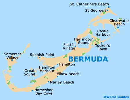
- Flatts Village - 14 km / 9 miles (18 minutes, south)
- Hamilton - 19 km / 12 miles (25 minutes, south-west)
- Somerset Village - 35 km / 22 miles (40 minutes, south-west)
- Spanish Point - 21 km / 13 miles (27 minutes, south-west)
- Tucker's Town - 14 km / 9 miles (18 minutes, south-west)
Map of Bermuda
Map of Parishes
Map of St. George's