Bridgetown Maps and Orientation
(Bridgetown, Saint Michael, Barbados)
Bridgetown is the capital of
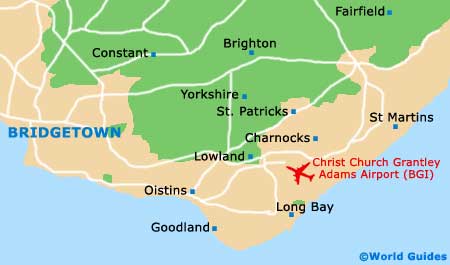
Barbados, and as such it has the island's best selection of commercial facilities, transport hubs and historical attractions. It is located on the southern shore of the island, near the cruise ship terminal and the airport, so virtually every visitor to the island passes through Bridgetown first. Of note, Broad Street is the most important commercial avenue in the city.
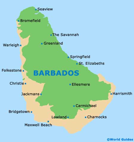
During your stay in Bridgetown, you will undoubtedly spend plenty of time in other cities and parishes. Holetown and Speightstown are north along the coast, in an area rife with luxury resorts. South-east of Bridgetown is
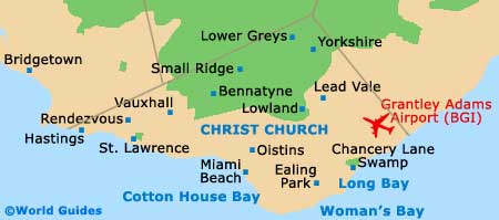
Christ Church, while Bathsheba is a laid-back community that sprawls on the opposite northern coast.
Maps and Orientation of the City
A map of Greater Barbados will be necessary if you want to travel to sites in the interior, including the ever-popular Harrison's Cave. You will also likely make use of a map when driving along any of the resort coasts, particularly if you choose to rent a car during your stay in Bridgeport.
Basic maps of Bridgetown are available for free online, but a more detailed map is necessary if you wish to properly explore the area. You can order these online or pick them up from hotels and souvenir shops in Bridgetown city centre.
- Bath Beach - 21 km / 13 miles (30 minutes, north-east)
- Bathsheba - 18 km / 11 miles (20 minutes, north-east)
- Christ Church - 12 km / 8 miles (15 minutes, east)
- Harrison Cave - 13 km / 8 miles (15 minutes, north-east)
- Holetown - 12 km / 8 miles (15 minutes, north)
- Oistins - 12 km / 8 miles (15 minutes, south-east)
- Speightstown - 20 km / 12 miles (25 minutes, north)
Map of Barbados
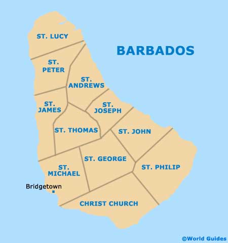
Map of Parishes
Map of Bridgetown