Derry Maps and Orientation
(Derry, County Londonderry, Northern Ireland, UK)
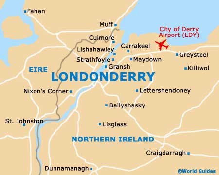
Derry is located near the north shore of
Ireland and its position on the River Foyle has made it one of the most important cities in Northern Ireland. The river connects Derry to Lough Foyle, which then runs out through a narrow inlet to the North Atlantic. In ancient times, these waterways were central to local commerce. Today, they are still used for transportation, but they also play a role as outdoor tourist attractions.
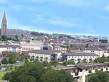
Maps are especially helpful for people planning to explore outside the old town. The city is mostly organised on the west bank of the River Foyle. The A2 leads into Derry, crosses the bridge and follows the city wall. While the historic core of Derry lies firmly on the west bank of the river, modern development has since spilled over to the east side, with a number of newer hotels and shopping centres located here. The east bank is also where you will find some of the best deals on accommodation and dining in the city.
Maps and Orientation of the City
The city centre is easy to navigate because Derry is a particularly well-planned city. In fact, this was the first city in Ireland to be intentionally planned. If you intend to venture outside of Derry city proper, you will want to get a detailed map that covers routes to destinations like the Giant's Causeway or any remote castles.
A map of Northern Ireland should be available through your hotel's information desk, though some of the smaller B&Bs may not have any on hand. In any event, the staff can point you to the nearest relevant store. If you hire a car in Northern Ireland, it is worth noting that a map is likely to be included.
- Belfast - 128 km / 80 miles (two hours, south-east)
- Coleraine - 50 km / 31 miles (55 minutes, north-east)
- Culmore - 8 km / 5 miles (15 minutes, north)
- Giant's Causeway - 68 km / 42 miles (one hour and 20 minutes, north-east)
- Grianan of Aileach - 8 km / 5 miles (15 minutes, north-west)
- Letterkenny - 37 km / 23 miles (40 minutes, south-west)
- Limavady - 29 km / 18 miles (35 minutes, north-east)
- Portrush - 58 km / 36 miles (one hour and five minutes, north-east)
- Portstewart - 56 km / 35 miles (one hour, north-east)
- Strabane - 23 km / 14 miles (25 minutes, south)
Map of the United Kingdom

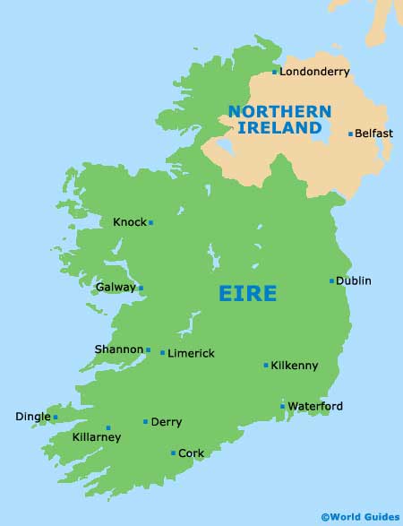
Map of Ireland
Map of Derry