Goa Maps and Orientation
(Goa, India)
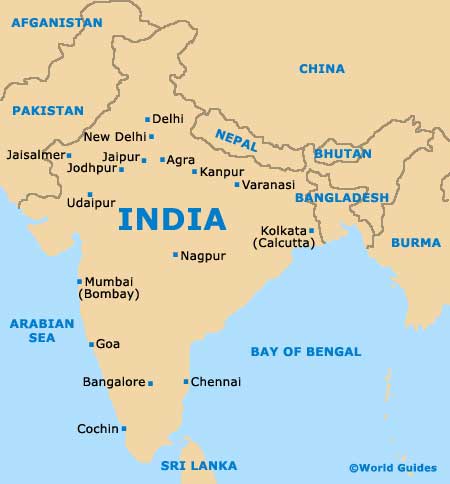
In terms of overall size, Goa is actually the smallest state in the whole of the Republic of India and a particularly popular destination for tourists, due to its stunning location next to the Arabian Sea. Goa lies on the western coast of India, directly south of Mumbai and to the north-west of Bangalore, within the Konkan region.
The northern side of Goa is edged by the Maharashtra, while Karnataka lies directly east and also south. On the western side of Goa, the Arabian Sea forms the boundary and is lined with an array of sandy beaches.
Maps and Orientation of the City
Panaji (Panjim) is Goa's capital city and known for its old Portuguese quarter and beautiful setting next to the wide mouth of the Mandovi River. However, the largest city in Goa is actually Vasco da Gama, which is often shortened to simply 'Vasco' and has a population exceeding 100,000 people.
Particularly impressive, Goa is home to the Mormugao Harbour, which is amongst the biggest natural harbours in the whole of South Asia and located alongside the winding River Zuari. Goa can be split broadly into two main regions, North Goa and South Goa. North Goa's main locations include Bardez, Bicholim, Pernem, Ponda and Satari. In South Goa you will find Mormugao, Quepem, Sanguem and Salcette.
- Bally - south
- Chauri - south
- Davangere - south-east
- Dharwad - south-east
- Hubli - east
- Karwar - south
- Kolhapur - north
- Margao - south
- Ratnagiri - north
- Sagar - south-east
- Solapur - north-east
- Supa - south-east
- Vengurla - north
Map of India
Map of Goa

