Charleston Maps and Orientation
(Charleston, West Virginia - WV, USA)
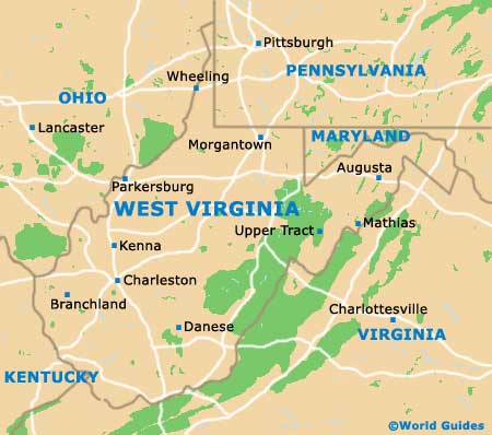
Located on the southwestern side of West Virginia, the city of Charleston serves as the state capital, as well as functioning as the county seat for Kanawha County.
With a population in the region of 55,000 people, Charleston is actually a fairly small city by state capital standards, although it is the biggest city in West Virginia. The city belongs to a considerably larger metropolitan area, where the combined number of residents now tops 300,000.
Charleston is well connected to the state of West Virginia, being located at the intersection of several freeways, namely interstates I-64, I-77 and I-79. It is also to be found where both the Elk River and the Kanawha River converge. The city proper resides on the northern bank of the Kanawha River.
Maps and Orientation of the City
If you are planning to find your way around downtown Charleston with a map, you shouldn't have any difficulty, particularly if you make note of some obvious city landmarks.
The Sacred Heart Co-Cathedral lies on the southern side of the city center, while the Charleston Town Center Mall is situated to the west, and the Plaza East Shopping Centre to the east, just past the Appalachian Power Park (a sizeable minor-league baseball stadium). Both the Park Place Stadium Cinema and St. Francis Hospital enjoy a fairly central position.
- Barboursville - west
- Beckley - south
- Buckhannon - east
- Dunbar - west
- Huntington - west
- Hurricane - west
- Jefferson - west
- Parkersburg - north
- Ravenswood - north
- Ripley - north
- Sissonville - north
- South Charleston - west
- St. Albans - west
- Teays Valley - west
- Weston - east
Map of USA
Map of West Virginia
Map of Charleston
