Seattle Maps and Orientation
(Seattle, Washington - WA, USA)
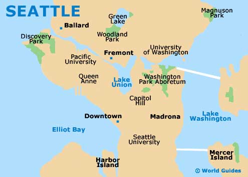
The western side of Washington state is where you will find Seattle, a sizeable waterfront city located close to Kent and Redmond. Lake Washington resides on the eastern side of Seattle, while Lake Union and Portage Bay are located in between the neighborhoods of Capitol Hill and Fremont. Elliott Bay / the Puget Sound is to the east.
On the southwestern side of downtown Seattle, the Alki Beach Park, Duwamish Head and Harbor Island are all close to each other and border Elliott Bay.
Seattle is very much a city of neighborhoods and suburbs, such as Ballard, Belltown, Pioneer Square and Queen Anne, with locations often described in relation to the most prominent districts. Therefore, those who are unfamiliar with the city and the layout of its districts may find it somewhat confusing when asking for directions, meaning that even the simplest of maps can prove invaluable.
Maps and Orientation of the City
Both the University District and Capitol Hill are located on the eastern side of the Interstate 5 Express (I-5), which heads north to south and divides the city. The very heart of downtown, Seattle Center, stands directly to the west of the I-5, together with Ballard and Freemont.
For maps and general information about how to find your way around the city of Seattle, the Washington State Convention and Trade Center on the corner of 7th Avenue and Pike Street is a good place to come. The center is easy to find, being close to the A Contemporary Theater (ACT), the Sheraton Hotel and Union Square.
- Bellevue - 9 miles / 14 km (15 minutes, east)
- Broadway - 2 miles / 3 km (five minutes, north)
- Cascade Fairwood - 18 miles / 29 km (30 minutes, southeast)
- Des Moines - 15 miles / 24 km (25 minutes, south)
- Federal Way - 23 miles / 37 km (40 minutes, south)
- Greenwood - 8 miles / 13 km (15 minutes, north)
- Haller Lake - 9 miles / 14 km (15 minutes, north)
- Highline - 8 miles / 13 km (15 minutes, south)
- Kenmore - 13 miles / 21 km (25 minutes, northeast)
- Kent - 21 miles / 34 km (35 minutes, south)
- Lynnwood - 17 miles / 27 km (30 minutes, north)
- Mountlake Terrace - 14 miles / 23 km (25 minutes, north)
- Renton - 12 miles / 19 km (20 minutes, southeast)
- Shoreline - 11 miles / 18 km (20 minutes, north)
- Wallingford - 4 miles / 6 km (ten minutes, north)
- Woodmont Beach - 20 miles / 32 km (35 minutes, south)
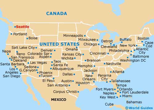
Map of the United States
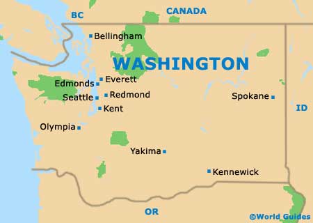
Map of Washington
Map of Seattle