Carson City Maps and Orientation
(Carson City, Nevada - NV, USA)
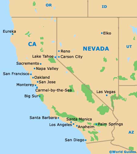
Located on the far western side of Nevada, Carson City is close to Sparks, Reno and Lake Tahoe. The state border with
California is also fairly nearby, being further to the west.
Carson City is the state capital and officially resides within the Eagle Valley, on Sierra Nevada's easterly Carson Range.
For a state capital, the city is relatively small, with a population of approximately 60,000 people, while casino-filled Las Vegas is the largest city in Nevada, with its total number of residents now coming close to 800,000. In fact, even though Carson City serves as the capital of Nevada state, Las Vegas is frequently referred to as the 'Entertainment Capital of the World'.
Maps and Orientation of the City
Those trying to find their way around Carson City should note that Interstate I-580 (the North South Freeway / Washoe Lake Freeway) is a particularly prominent thoroughfare on maps, heading northwards to Reno, Sparks and Sun Valley. Carson Street (Highway US-395) joins the interstate close to the junction with the South Meadows Parkway.
Downtown Carson City comprises a series of mainly square blocks, with some east to west streets being numbered in a logical fashion. Useful reference points on maps of the city center include Mills Park and the Carson High School (northeast), the Governor's Field (southeast) and the Nevada State Railroad Museum (south). The Western Nevada College is sited to the far northwest, and the Galaxy Fandango cinema complex to the far south.
- Fallon - northeast
- Fernley - northeast
- Fort Churchill State Historic Park - northeast
- Gardnerville - south
- Genoa - southwest
- Heavenly Mountain Resort, California (CA) - southwest
- Indian Hills - south
- Lake Tahoe - southwest
- Minden - south
- Reno - north
- South Lake Tahoe, California (CA) - southwest
- Sparks - north
- Sun Valley - north
- Truckee, California (CA) - northwest
- Washoe Lake State Park - north
Map of USA
Map of Nevada
Map of Carson City
