Jefferson City Maps and Orientation
(Jefferson City, Missouri - MO, USA)
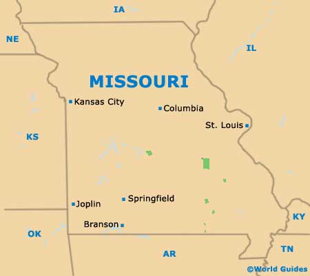
The state of Missouri enjoys a fairly central location in North America, with Jefferson City serving as its capital. However, with a population of just 50,000 people, Jefferson City is far from being the biggest city in Missouri and doesn't even manage to make it on the list of the top ten largest.
The state capital is rather dwarfed by Missouri giants such as Kansas City, St. Louis and Springfield, although remains central to state government and politics.
The northern boundary of central Jefferson City is made up of the Missouri River, which separates the downtown district from the Jefferson City Memorial Airport. Highway US-54 crosses the river and heads northwards, where it eventually intersects with Interstate I-70, before reaching the confusingly named city of
Mexico, Missouri.
Maps and Orientation of the City
Downtown Jefferson City itself is rather compact and it is easy to find the principal attractions with the aid of maps. The Missouri River is a particularly useful point of reference on maps, as is the Ellis Porter Park, Hough Park and Washington Park.
Many of the principal sights radiate outwards from the Missouri State Capitol, such as the Jefferson Landing State Historic Site, St. Peter's Church and the Governor's Mansion, all of which are within comfortable strolling distance.
- Columbia - northwest
- Fulton - northeast
- Kansas City - west
- Lake Ozark - southwest
- Marshall - northwest
- Mexico - north
- Moberly - northwest
- Osage-Tavern State Wildlife Area - southwest
- Painted Rock Conservation Area - south
- Rocky Mount Towersite State Wildlife Area - southwest
- Rolla - southeast
- Sedalia - west
- Springfield - southwest
- St. Louis - east
- Washington - east
Map of USA
Map of Missouri

Map of Jefferson City
