Des Moines Maps and Orientation
(Des Moines, Iowa - IA, USA)
Situated within the fairly centrally located state of Iowa, Des Moines falls within Warren County and Polk County, and is the official county seat of the latter. This is both the biggest city in Iowa and the state capital.
The city is intersected by its namesake, the Des Moines River, which snakes its way through the very city center, running in a northwest / southeast direction and connecting the Saylorville Lake (a large reservoir lying to the north).
Founded in 1843 and now boasting a population in the region of 210,000 people, the Des Moines of today is very much a business city. It is known for its high concentration of important insurance and finance-based companies, being called home by a number of sizeable company headquarters.
Maps and Orientation of the City
Getting around downtown Des Moines can be a little tricky without a map, since there are a series of busy roads and bridges over the river. Most maps clearly show the Iowa State Capitol Building, which resides on the southern side of downtown Des Moines and is a handy point of reference for those self-navigating.
Interstate I-235 heads in an east to west direction through the city center, while the I-35 runs north to south, connecting
Minneapolis and
Saint Paul (north) in
Minnesota in around five hours. Drive southwards on the I-35 and you will reach
Kansas City,
Missouri, in approximately four hours.
- Altoona - east
- Ames - north
- Ankeny - north
- Boone - north
- Cedar Rapids - east
- Clive - west
- Indianola - south
- Johnston - northwest
- Kansas City, Missouri (MO) - south
- Knoxville - southeast
- Omaha, Nebraska (NE) - west
- Newton - east
- Urbandale - west
- Van Meter - west
- West Des Moines - west
Map of USA
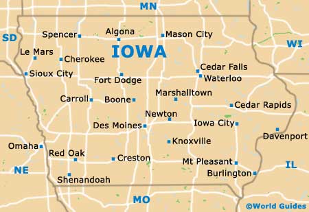
Map of Iowa
Map of Des Moines
