Juneau Maps and Orientation
(Juneau, Alaska - AK, USA)
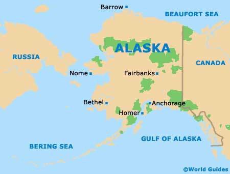
Being located within the state of Alaska means that the city of Juneau is situated to the far north of America, close to Canada. Juneau is actually based on the southern side of Alaska and is interestingly one of America's least centrally located state capitals.
Although Juneau is the capital of Alaska, it is only the second-biggest city and has a population of approximately 35,000 people. It is rather dwarfed by the Alaskan giant that is Anchorage, with its population of more than 260,000 people.
From the air, the city is really quite close to the Canadian border (to the east), although it is separated by a sprawling mountain range.
Maps and Orientation of the City
Many visitors don't actually realise that the city / borough of Juneau actually also comprises neighboring Douglas Island, which is a sizeable island connected to the mainland by the Juneau-Douglas Bridge. This modern bridge opened in 1980 and spans the Gastineau Channel, stretching for just under 200 meters / 656 feet.
Getting around downtown Juneau is not difficult, especially if you have maps to hand. All of the city's central attractions are easy to locate and reach on foot, such as the Alaska State Capitol Building, the St. Nicholas Orthodox Church, the Cathedral of the Nativity of the Blessed Virgin Mary, and the extremely popular Alaska State Museum.
- Admiralty Island - south
- Anchorage - northwest
- Dawes Glacier - southeast
- Douglas Island - west
- Elfin Cove - west
- Glacier Bay National Park - west
- Haines - northwest
- Hoonah - west
- Petersburg - south
- Pelican - west
- Sitka - southwest
- Skagway - north
- Tongass National Forest - south
- Wrangell - southeast
- Yakutat - northwest
Map of USA
Map of Alaska
Map of Juneau
