Montgomery Maps and Orientation
(Montgomery, Alabama - AL, USA)
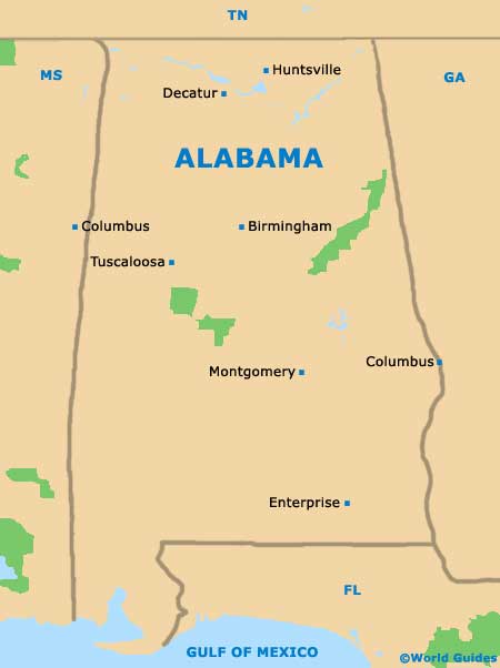
Located within North America's southeasterly state of Alabama, the city of Montgomery resides within the River Heritage region and serves as the state capital. With a population of approximately 210,000 people, Montgomery is actually the second-biggest city in Alabama, after the larger city of Birmingham.
The state capital is also the county seat for Montgomery County and has grown on the southern side of the Alabama River, expanding ever since its official incorporation in the early part of the 19th century.
Montgomery is spread over a series of seven different hills, with views across the river. Tourists will find that many of the most appealing attractions are sited within the downtown district, being fairly simple to locate on maps and easy to reach on foot.
Maps and Orientation of the City
The skyline of downtown Montgomery is particularly distinctive and is somewhat dominated by the famous RSA Tower. Many important local government buildings are also based within the downtown district, including the rather impressive Alabama State Capitol, which enjoys an elevated setting at the end of Dexter Avenue.
If you are walking around Montgomery city center, map in hand, then the State Capitol Building is a good place to start your sightseeing. Just a stroll away is the First White House of the Confederacy, while other points of reference include the red-brick Union Station, which belongs to the Riverwalk Park and comprises an amphitheater, stadium and boat dock.
- Alabaster - north
- Alexander City - northeast
- Atlanta, Georgia (GA) - northeast
- Auburn - east
- Birmingham - north
- Columbus, Georgia (GA) - east
- Greenville - southwest
- Millbrook - north
- Opelika - east
- Paul M. Grist State Park - northwest
- Prattville - northwest
- Selma - west
- Sylacauga - north
- Troy - southeast
- Tuskegee - east
Map of USA
Map of Alabama
Map of Montgomery
