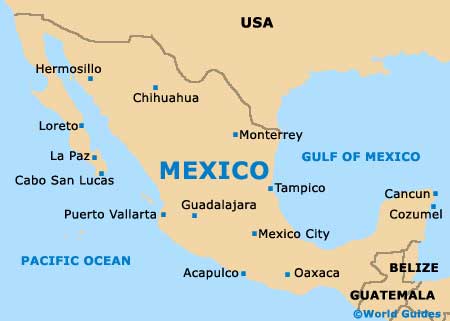
Mexico City Maps and Orientation
(Mexico City, Federal District, Mexico)
One of the world's biggest and most important cities, Mexico City is the country's enormous capital and home to a population approaching 20 million. Known locally as 'Ciudad de México', Mexico City encompasses the 'Federal District' (Distrito Federal) and this is generally abbreviated as simply D.F. and shown after the city name - Mexico City D.F.
Mexico City is a sprawling metropolis and the greater metropolitan area covers almost 60 different municipalities and around 350 neighbourhoods (colonias). Sited within the Valley of Mexico (Valley of Anáhuac) and on the former bed of the Lago de Texcoco lake, the city itself enjoys an especially scenic and fairly elevated setting in the very heart of Mexico and is known to have been established at the very beginning of the 14th century.
Maps and Orientation of the City
At first glance, Mexico City appears to be a daunting place to find your way around, although the main attractions and places of interest are actually fairly easy to reach. Some of the most prominent roads keep their names for several miles, while others change their names almost every other block.
Full-colour maps of Mexico City often prove invaluable and are available from the various tourist modules scattered around the city. These maps also feature a rather detailed map of Mexico City's transport network, along with enlargements of the main areas and districts, such as the Centro Historica, San Angel and also Coyoacan.
- Calpulalpan - east
- Chalco De Diaz Covarrubias - south-east
- Chimalhuacan - east
- Cuautitlan Izcalli - north
- Cuernavaca - south
- Huixquilocan De Degollado - south-west
- Naucalpan De Juarez - west
- Nezahualcoyotl City - south-east
- San Martin - east
- Tepeapulco - north-east
- Tlalnepantla - north-west
- Toluca - west
- Villa Nicolas Romero - north-west
Map of Mexico

Map of Mexico City


