Oslo Maps and Orientation
(Oslo, Ostlandet, Norway)
Norway's biggest city, Oslo is the proud capital and is located within the Ostlandet area. Oslo is located within western Norway and as well as being a city, it is also both a county and a municipality in its own right.
The central train station in the city is known as the Oslo Sentralstasjon and is situated on the eastern side of the city centre. In this part of Oslo, the Karl Johans gate is a notable thoroughfare and heads in a westerly direction through the very centre of the city, leading to the Royal Palace and many other places of interest.
Maps and Orientation of the City
Many of the main attractions in Oslo are based around the city centre and about the harbour front, where many trendy eateries await. Plenty of accommodation is also close to the Karl Johans gate and also the nearby Akershus Festning.
Those wishing to explore the area outside of central Oslo will find a map invaluable. Vigeland Park is actually within easy walking distance of Oslo city centre, while other sights are often best reached by using public transport, such as trams, buses or underground trains (T-bane). Those wishing to take a trip to the Bygdoy peninsula will need to take a short ferry journey from the harbour.
- Asker - south-west
- Baerum - west
- Drammen - south-west
- Frogner - west
- Greverud - south
- Grorud - north-east
- Lorenskog - east
- Nesodden - south-west
- Nittedal - north-east
- Nordre Aker - north
- Nordstrand - south
- Oppegárd - south
- Ringerike - north-west
- Skedsmo - north-east
- Ullern - west
- Vestre Aker - north-west
Map of Norway

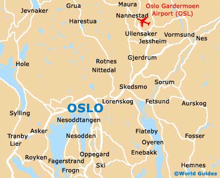
Map of Oslo