Kos Maps and Orientation
(Kos, Dodecanese, Greece)
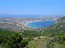
Located in the Aegean Sea and on the far south-western side of Greece, Kos is part of Dodecanese Islands and located within the Sporades group of islands. Kos lies alongside the Gulf of Cos (Gokova) and is around 40 km 25 miles by 8 km / 5 miles, and home to a population of almost 20,000 islanders.
Many visitors are surprised to find that Kos is so close to the shoreline of Turkey and the Turkish port town of Bodrum is actually only a mere 4 km / 2.5 miles from the island, within the province of Mulga. The island is surrounded by the Aegean Sea and its coastline stretches for more than 110 km / 68 miles.
Maps and Orientation of the Island
Kos Town is the islands busy capital and is located on the north-eastern coast. This town is also the island's premier port and features a population of around 15,000 people, clearly showing what an important part of the island it has become.
Within Kos Town itself, the ferry quay can be found to the north of the castle and the main waterfront is named the Atki Miaouli. Nearby is the Georgiou Papandreou, which ultimately leads towards a number of popular beaches, such as the Psalidi and also the Agios Fokas. Maps of Kos Town and the island as a whole are always useful for those trying to find their way around. Worth noting, the centrally located Plateia Eleftherias is a useful point of reference and meeting place.
The most significant villages on the island of Kos are as follows:
- Antimachia
- Asfendiou
- Kardamena
- Kefalos
- Lagoudi
- Marmari
- Mastihari
- Platani
- Pyli
- Tingaki
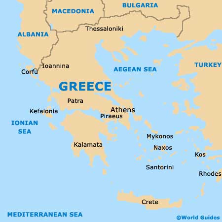
Map of Greece
Map of Kos

