Salisbury Maps
(Salisbury, Wiltshire, England, UK)
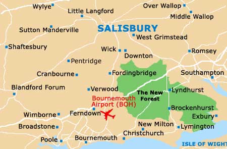
The cathedral city of Salisbury is situated in the county of Wiltshire, in South-West England. With a population of just over 50,000 residents, Salisbury is a relatively small city by modern day standards, although that really is part of its charm and appeal.
Close to one side of the Salisbury Plain and to the town of Wilton, the city is also within easy reach of the south coast, where highlights include
Bournemouth, Christchurch, the
Isle of Wight,
Poole and
Southampton. The New Forest National Park and Brockenhurst are also near to Salisbury and make for a popular day trip.
Maps and Orientation of the City
Central Salisbury is quite compact and easily covered on foot, being centred around the Market Square and its Guildhall. The local railway station is to be found just a short walk to the west, while the bus station is close and to the north, being located along Endless Street.
Just behind the Guildhall building, on Fish Row, is the Tourist Information Centre (TIC), where maps of Salisbury are readily available. The TIC is also a good place to pick up an inexpensive copy of the 'Seeing Salisbury' pamphlet, which details an array of walks around the city and neighbouring water meadows, allowing you to view the cathedral from many different angles.
Map of the United Kingdom

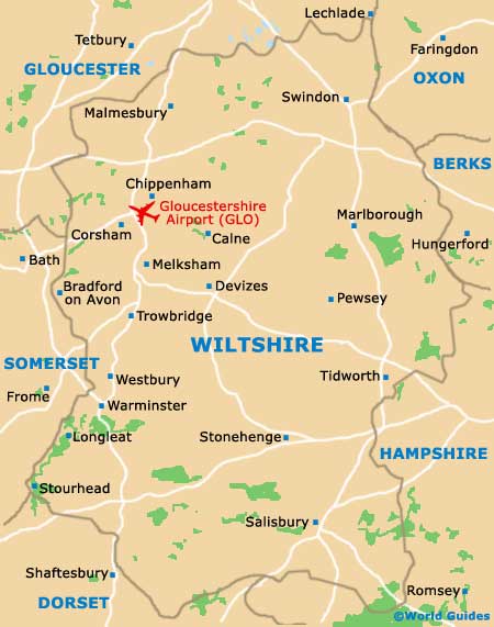
Map of Wiltshire
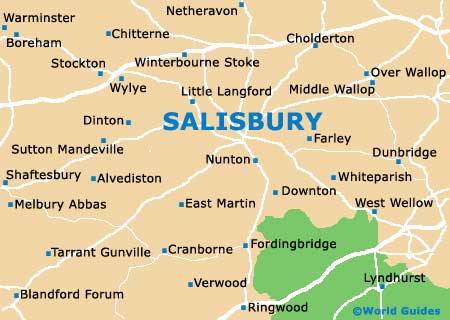
Map of Salisbury