Ghent Maps and Orientation
(Ghent, East Flanders, Belgium)
Many people are surprised by the sheer size of Ghent, which is actually the largest city within this part of the Western Flanders region. Ghent has grown up around the meeting point of the River Leie and also the River Scheldt, and was an extremely affluent city during the Middle Ages.
Today, this remains an extremely busy city, with an important university and harbour. The city is linked to the sea by the canal known as the Ghent Terneuzen, a scenic waterway perfect for an afternoon stroll.
Maps and Orientation of the City
Ghent does not actually feature a central square. Instead, the city's medieval centre is made up of a number of open spaces, grouped close to two impressive churches, which preside over the skyline.
The most westerly of Ghent's public squares is the Korenmarkt, which is around 2 km / 1.5 miles from the main railway station (St. Pietersstation). The university quarter is close by and based along the stretch of St. Pietersnieuwstraat. Maps of Ghent can be found at the tourist office at the Botermarkt, and also at bookshops along the Veldstraat and on St. Baafsplein.
- Antwerp - 59 km / 37 miles (one hour, east)
- Arras - 120 km / 75 miles (one hour and 40 minutes, south-west)
- Beaumont - 139 km / 86 miles (one hour and 55 minutes, south-west)
- Bruges - 56 km / 35 miles (one hour, north-west)
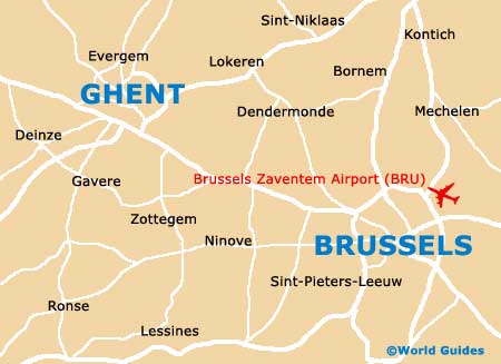
- Brussels - 57 km / 35 miles (one hour, south-east)
- Charleroi - 110 km / 68 miles (one hour and 35 minutes, south-east)
- Geraardsbergen - 40 km / 25 miles (45 minutes, south)
- Kortrijk - 48 km / 30 miles (50 minutes, south-west)
- Leuven - 90 km / 56 miles (one hour and 20 minutes, east)
- Mons - 119 km / 74 miles (one hour and 35 minutes, south)
- Namur - 127 km / 79 miles (one hour and 40 minutes, south-east)
- Roeselare - 73 km / 45 miles (one hour and ten minutes, west)
- Roubaix - 71 km / 44 miles (one hour and ten minutes, south-west)
- Villeneuve d'Ascq - 74 km / 46 miles (one hour and ten minutes, south-west)
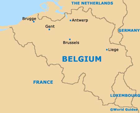
Map of Belgium
Map of Ghent