Dubai Maps and Orientation
(Dubai, United Arab Emirates, UAE)
Perhaps the best known city in the United Arab Emirates and certainly the most popular, Dubai is actually one of the country's seven different emirates which combine to make the UAE. Dubai currently ranks as the most modern of all the emirates and is continually expanding and developing, with the relatively recent addition of its famous
Palm Islands being the biggest land reclamation project in existence.
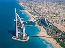
The city of Dubai offers an extensive infrastructure and has been transformed into a desert oasis, filled with towering skyscrapers and exceptional luxury hotels. There are endless different districts and suburbs, although only a few of these are actually in common usage and not always clearly shown on maps of the city.
Maps and Orientation of the City
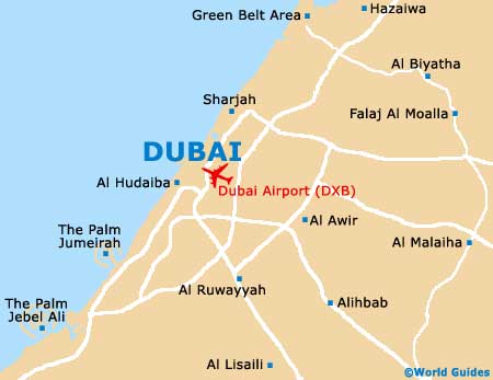
There really are four main areas of interest to tourists visiting Dubai. Deira is an important neighbourhood and encompasses the Al-Garhoud area close to the airport. Across the Creek from Deira is Bur Dubai, which can be reached using either water taxis (abras), the Al-Maktoum Bridge or the Al-Shindaga Tunnel.
Bur Dubai lies on the southerly side of the Creek and is filled with hotels, restaurants, museums and interesting areas, such as the characterful Bastakiya (Bastakia) district and the residential suburb of Karama. Directly south-west of Bur Dubai is the Sheikh Zayed Road, which heads inland and runs parallel to the shoreline, with this area being filled with places to stay and eat. Finally, the fourth neighbourhood of note is Jumeirah, with Jumeirah Road forming an important thoroughfare and running next to the beachfront. The Dubai Marine Beach Resort is included within the Jumeirah area.
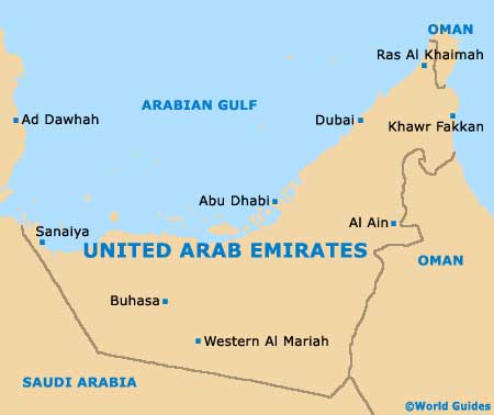
- Abu Dhabi - south-west
- Ajman - north-east
- Al Ain - south-east
- Al Haba - east
- Al Samha - south
- Dhaid - east
- Dibba (Oman) - north-east
- Fujairah - east
- Kish Island (Iran) - north
- Masfut - east
- Mina Jebel Ali - south-west
- Ra's al Khaimah - north-east
- Sha'am - north-east
- Sharjah - north-east
- Sweihan - south-east
- Umm al Quwain - north-east
Map of the United Arab Emirates
Map of Dubai