Nagoya Maps and Orientation
(Nagoya, Chubu, Central Honshu, Japan)
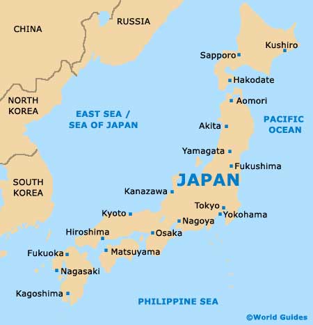
Nagoya is situated in the Aichi Prefecture within the region of Chubu, and lies alongside the Pacific Coast, and features an important port and waterfront area.
Central Nagoya has been built as a gridwork of spacious avenues and wide streets, with Nagoya Station being a prominent landmark, located to the west of the city centre. The Nagoya Station area is often referred to as simply 'Meieki' and this is an important part of the city and also a tourist destination in its own right, with its very own set of shops, restaurants, accommodation and two enormous skyscrapers.
Maps and Orientation of the City
On the eastern side of Nagoya Station, the Sakura-dori stretches towards Central Park (known locally as the Hisayaodori-koen) and the stunning Nagoya TV Tower, which is around 180 metres / 590 feet in height and dominates the area. On the southern side of the Nagoya TV Tower you will find the bustling Sakae district, while the Nagoya-jo Castle lies to the north.
A great way to ensure that you never get lost in Nagoya is to pick up one of the fold-out city maps, which are available at the tourist information office on the central concourse of Nagoya Station. Both the 'Live Map Nagoya' and the 'Access' publication will prove invaluable during your stay. If you become more adventurous and decide to explore the area surrounding Nagoya, you will no doubt encounter some of the following towns and cities.
- Gifu - north
- Handa - south
- Ichinomiya - north-west
- Inuyama - north
- Kariya - south
- Kasugai - north
- Komaki - north
- Kuwana - south-west
- Kyoto - west
- Nara - south-west
- Ogaki - north-west
- Osaka - south-west
- Suzuka - south-west
- Tajimi - north-east
- Toyota - south-east
- Tsushima - west
- Yokkaichi - south-west
Map of Japan
Map of Nagoya

