Augusta Maps and Orientation
(Augusta, Maine - ME, USA)
As the state capital and county seat for Kennebec County, the city of Augusta is the most important city in Maine when it comes to politics and power, despite its small size. In fact, the population of Augusta is just 20,000 people, compared to Maine's largest city of Portland, which comes with approximately 70,000 residents.
Interestingly, this city's size makes Augusta the third-smallest of all North America's state capitals, after both
Montpelier and
Pierre, while its location makes it the most easterly capital.
Augusta lies directly to the east of Manchester town, and south of Sidney and Vassalboro. To the east you will find Windsor, with Chelsea being found to the south and Hallowell to the southeast. Head further south and you will soon reach Gardiner, Richmond and the Steve Powell Wildlife Management Area, all of which are located around the Kennebec River.
Maps and Orientation of the City
For Augusta, the Kennebec River is of great historical significance and is always a useful point of reference on maps. The city began its life here as a trading post and today, the river roughly splits Augusta into easterly and westerly districts.
The downtown attractions lie on the western side of the river, where Blaine House, the Children's Discovery Museum and the Maine State House are all highlights, along with Capitol Park. Slightly further west is Interstate I-95 (the Maine Turnpike) and the Augusta State Airport, which stands next to the Mount Hope Cemetery. On the eastern side are several sizeable schools, businesses and churches, as well as the Viles Arboretum and Savage Park.
- Auburn - southwest
- Belgrade - northwest
- Farmingdale - south
- Gardiner - south
- Hallowell - southwest
- Lewiston - southwest
- Litchfield - southwest
- Manchester - west
- Monmouth - southwest
- Oakland - north
- Sidney - northwest
- Thorncrag Bird Sanctuary - southwest
- Vassalboro - northeast
- Waterville - northeast
- Winthrop - west
Map of USA
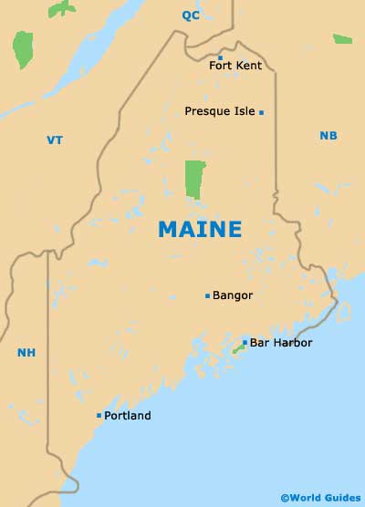
Map of Maine
Map of Augusta
