Baton Rouge Maps and Orientation
(Baton Rouge, Louisiana - LA, USA)
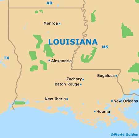
Located within the southeastern portion of boot-shaped Louisiana, Baton Rouge is close to the city of Zachary and belongs to the parish of East Baton Rouge. The city serves as both the parish seat and the state capital, and has grown up around the Mississippi River, atop the Istrouma Bluff.
The metropolitan region is referred to as Greater Baton Rouge and boasts a population now topping 800,000 people, while the city area is often known as simply the 'Capital Area'.
Interstate I-10 bounds the southern side of the city, heading in a west to southeast direction and passing by the Village Square Shopping Center, the Acadian Perkins Plaza Shopping Center and the Garden District. From the I-10, downtown Baton Rouge can be reached via Interstate I-110, along with the centrally located Governor's Mansion and Capitol Lake.
Maps and Orientation of the City
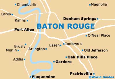
Baton Rouge is an easy city to navigate, with its central north to south avenues being numbered in a logical fashion. When using maps, make a note of useful points of reference, which will help you get your bearings and reach your destination. In the city center are various lakes, parks, colleges and schools, hospitals, cemeteries and hotels.
Maps are best obtained from the Baton Rouge Convention and Visitors Center, which is located on the North Boulevard, close to the Hilton Hotel and the St. Joseph Cathedral. Head just a few blocks to the north and you will find the State Library of Louisiana, the State Capitol Park and also the Louisiana State Museum.
- Baker - 12 miles / 19 km (25 minutes, north)
- Brownfields - 10 miles / 16 km (20 minutes, north)
- Denham Springs - 13 miles / 21 km (25 minutes, east)
- Donaldsonville - 40 miles / 64 km (one hour, south)
- Gardere - 12 miles / 19 km (25 minutes, south)
- Gonzales - 22 miles / 35 km (35 minutes, southeast)
- New Iberia - 71 miles / 114 km (one hour and 35 minutes, southwest)
- New Orleans - 80 miles / 129 km (one hour and 45 minutes, southeast)
- Old Jefferson - 11 miles / 18 km (20 minutes, southeast)
- Plaquemine - 17 miles / 27 km (30 minutes, southwest)
- Port Allen - 7 miles / 11 km (15 minutes, west)
- Prairieville - 17 miles / 27 km (30 minutes, south)
- Rosedale - 21 miles / 34 km (35 minutes, west)
- Shenandoah - 12 miles / 19 km (25 minutes, southeast)
- Zachary - 17 miles / 27 km (30 minutes, north)
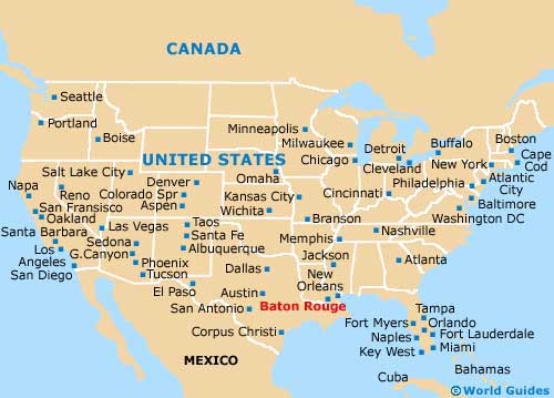
Map of the United States
Map of Louisiana
Map of Baton Rouge